
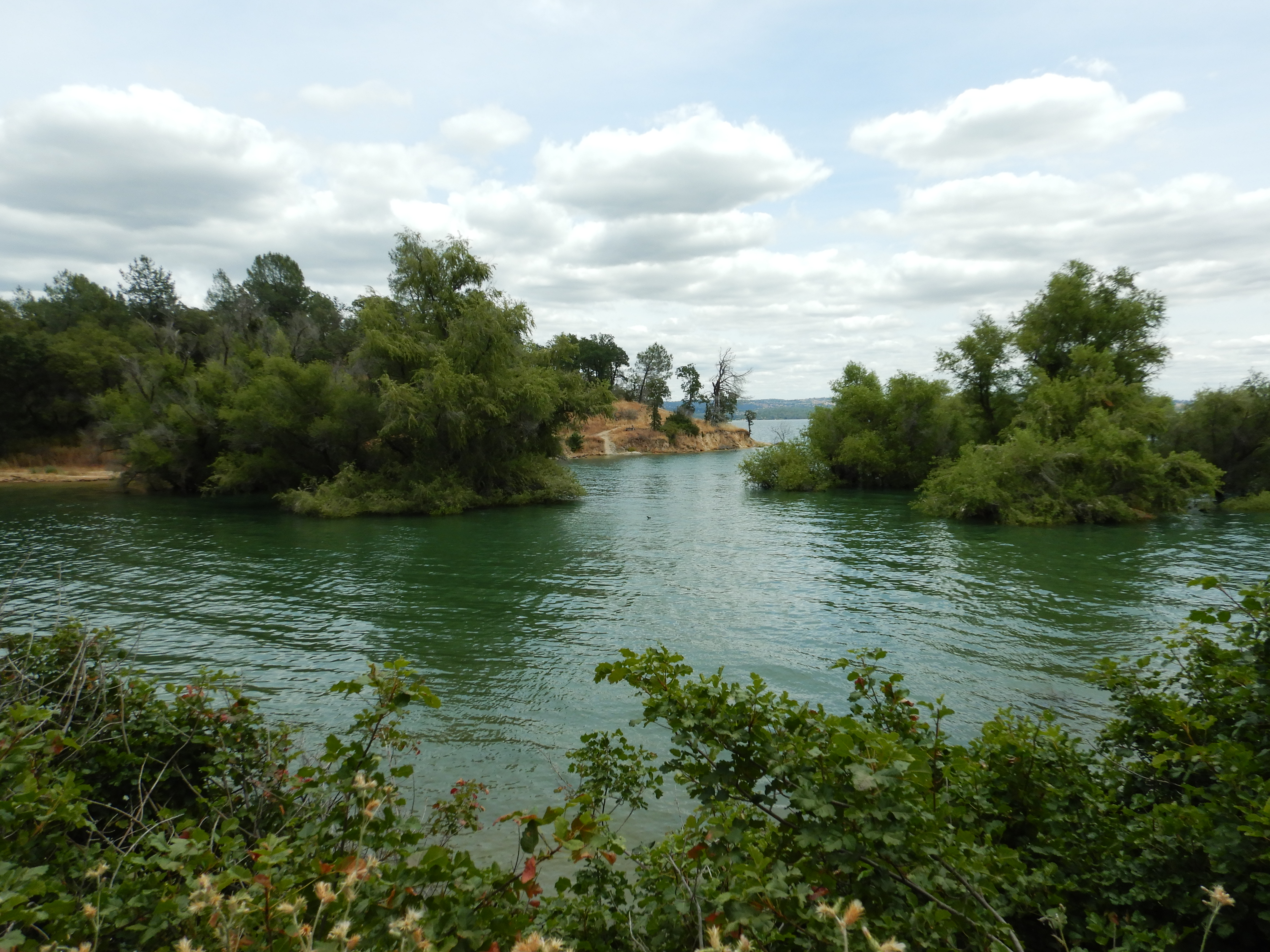
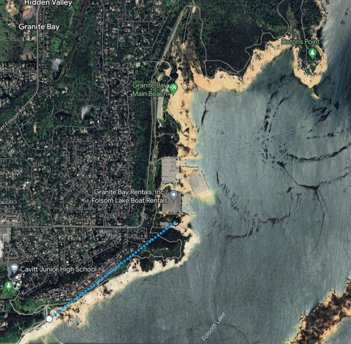
Deciding this might be the last cool day of spring, I decided to take a Folsom Lake hike to check out the great water conditions before the heatwave.
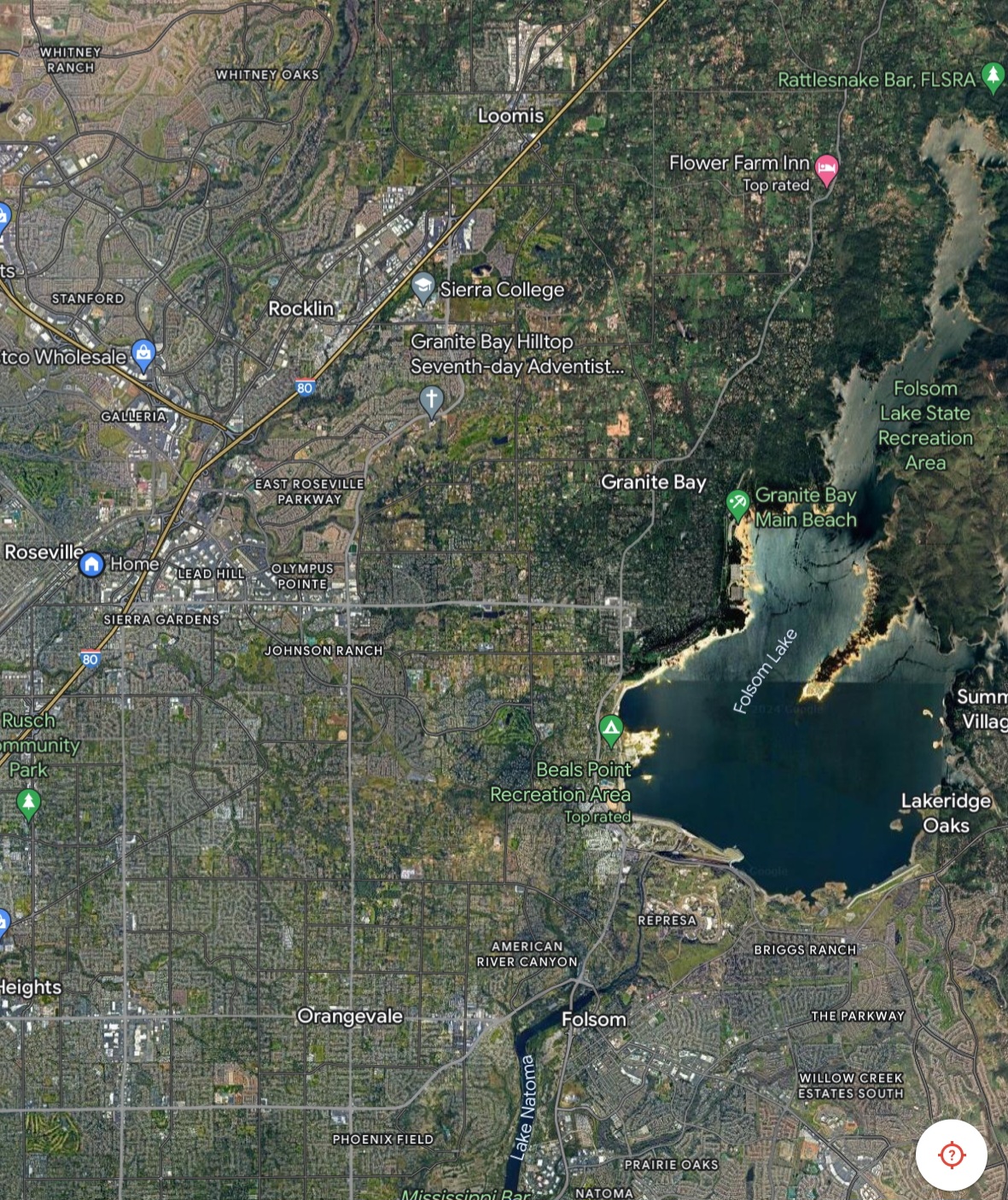
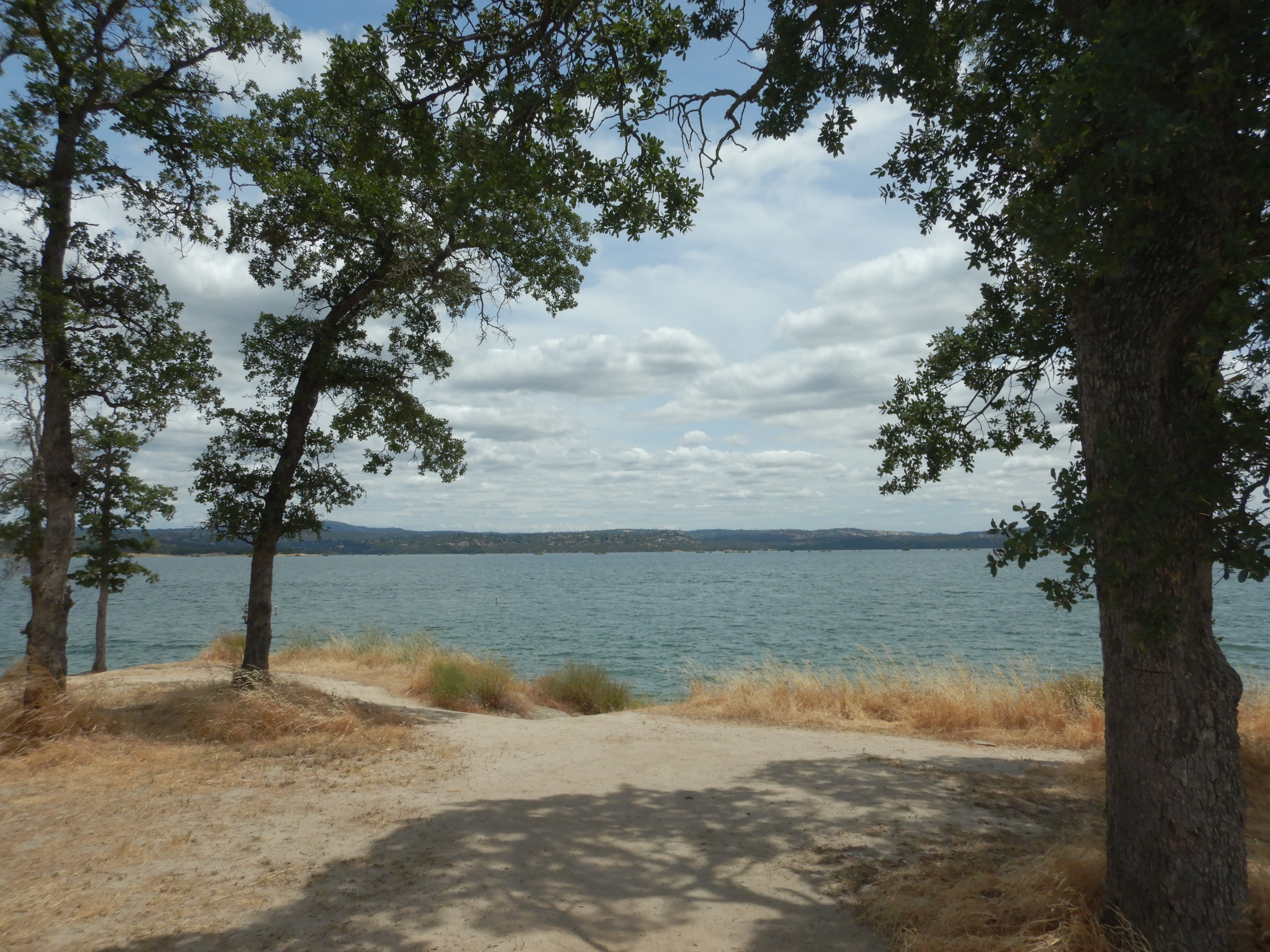
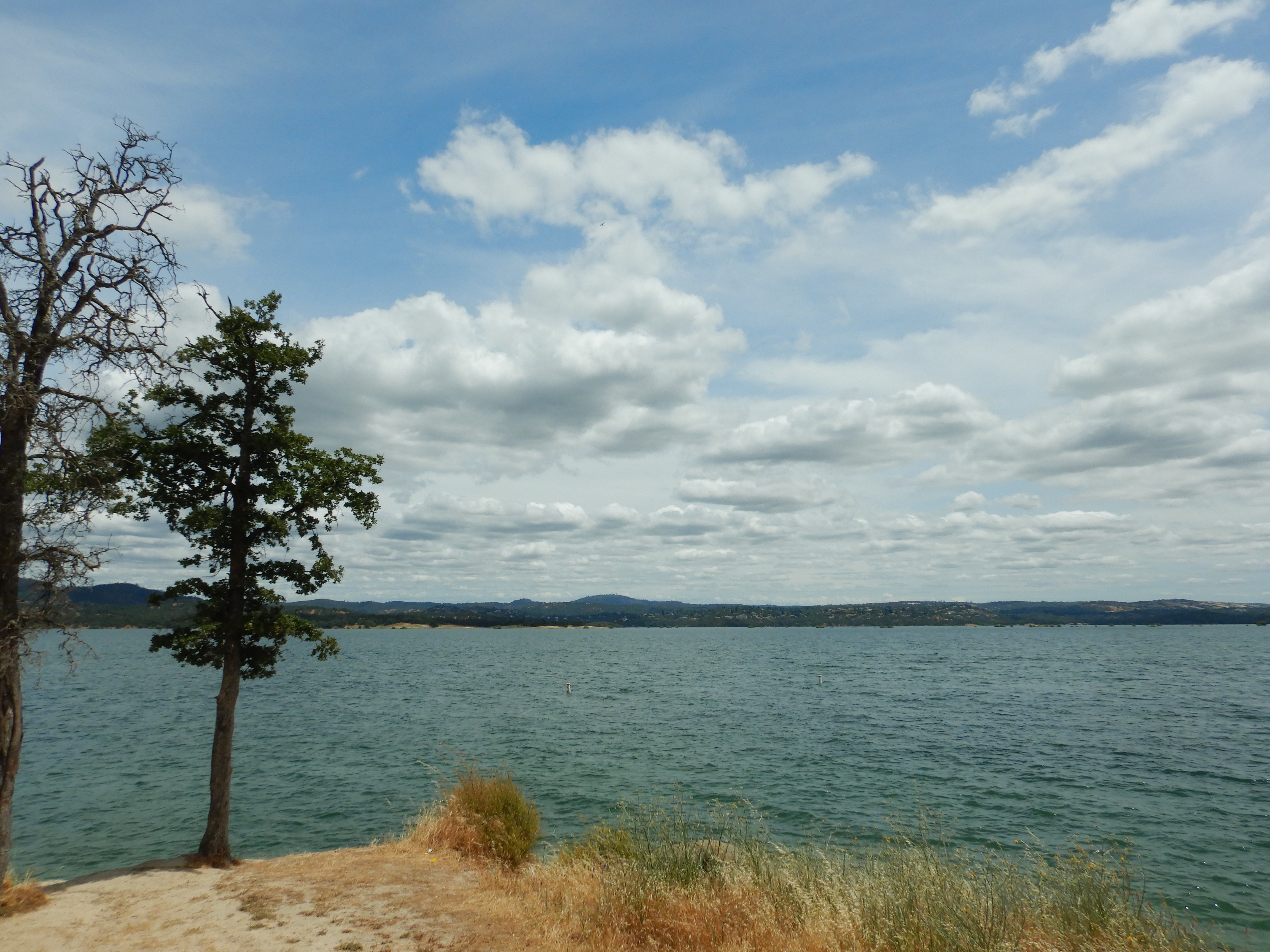
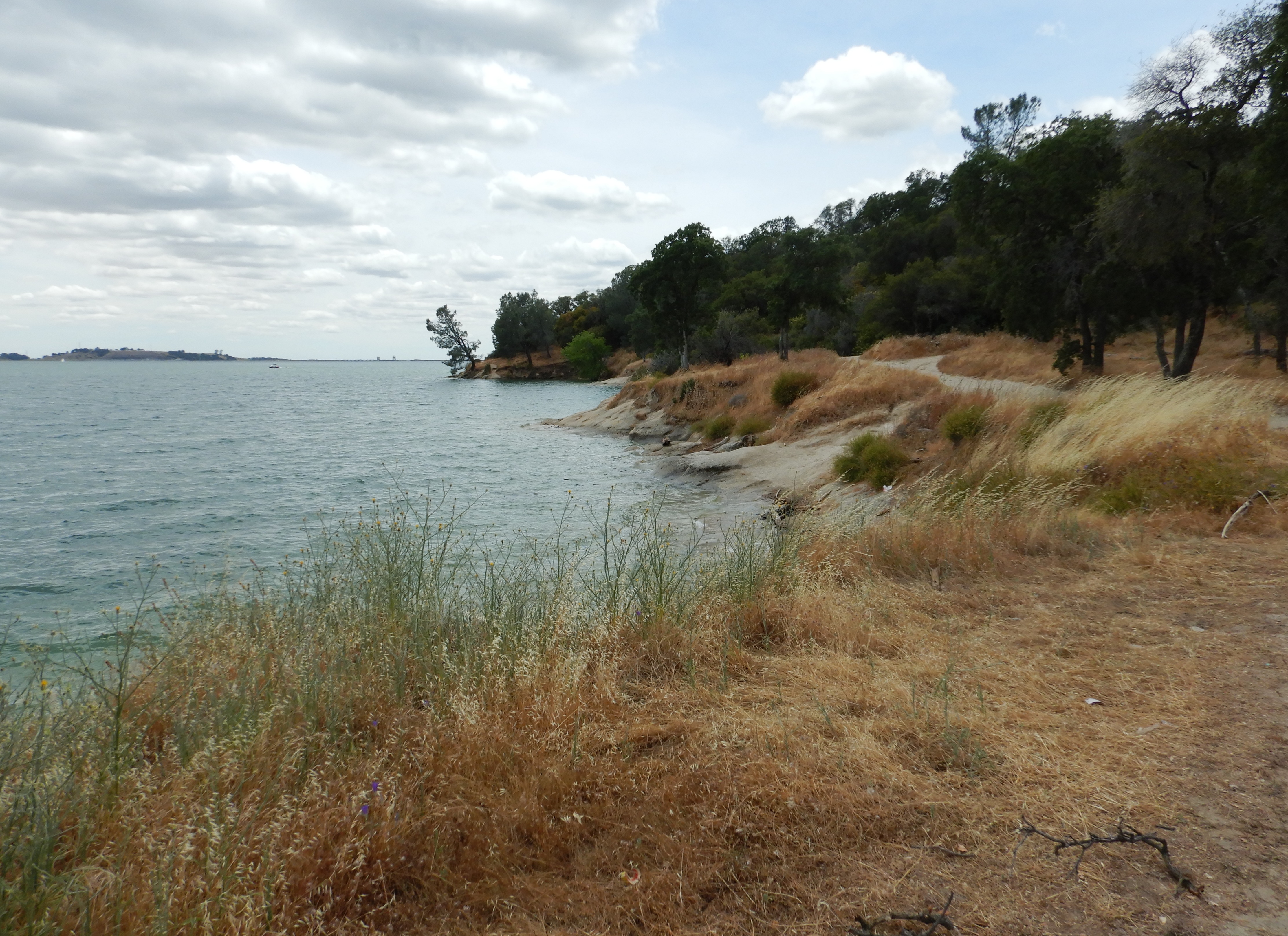
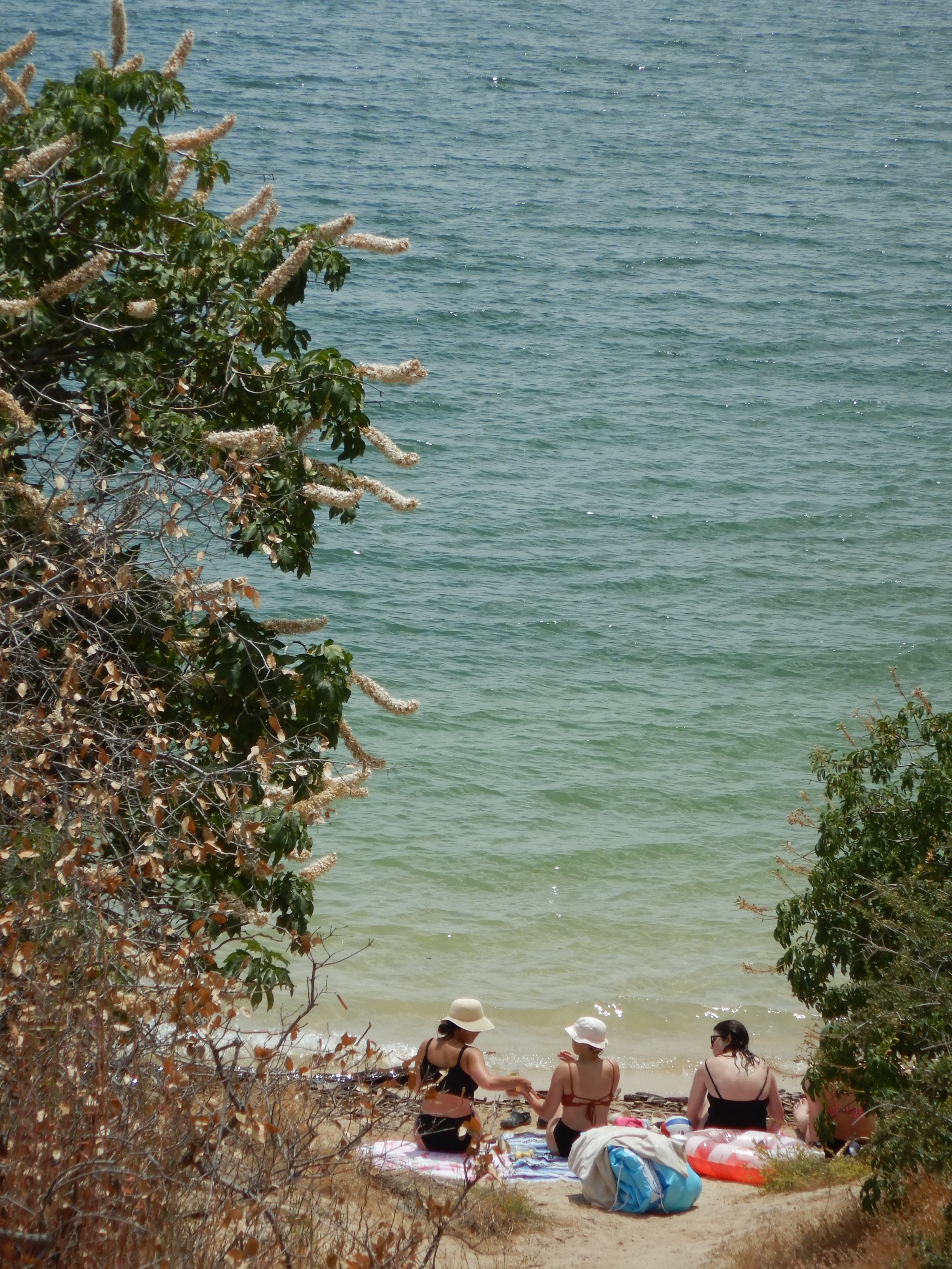
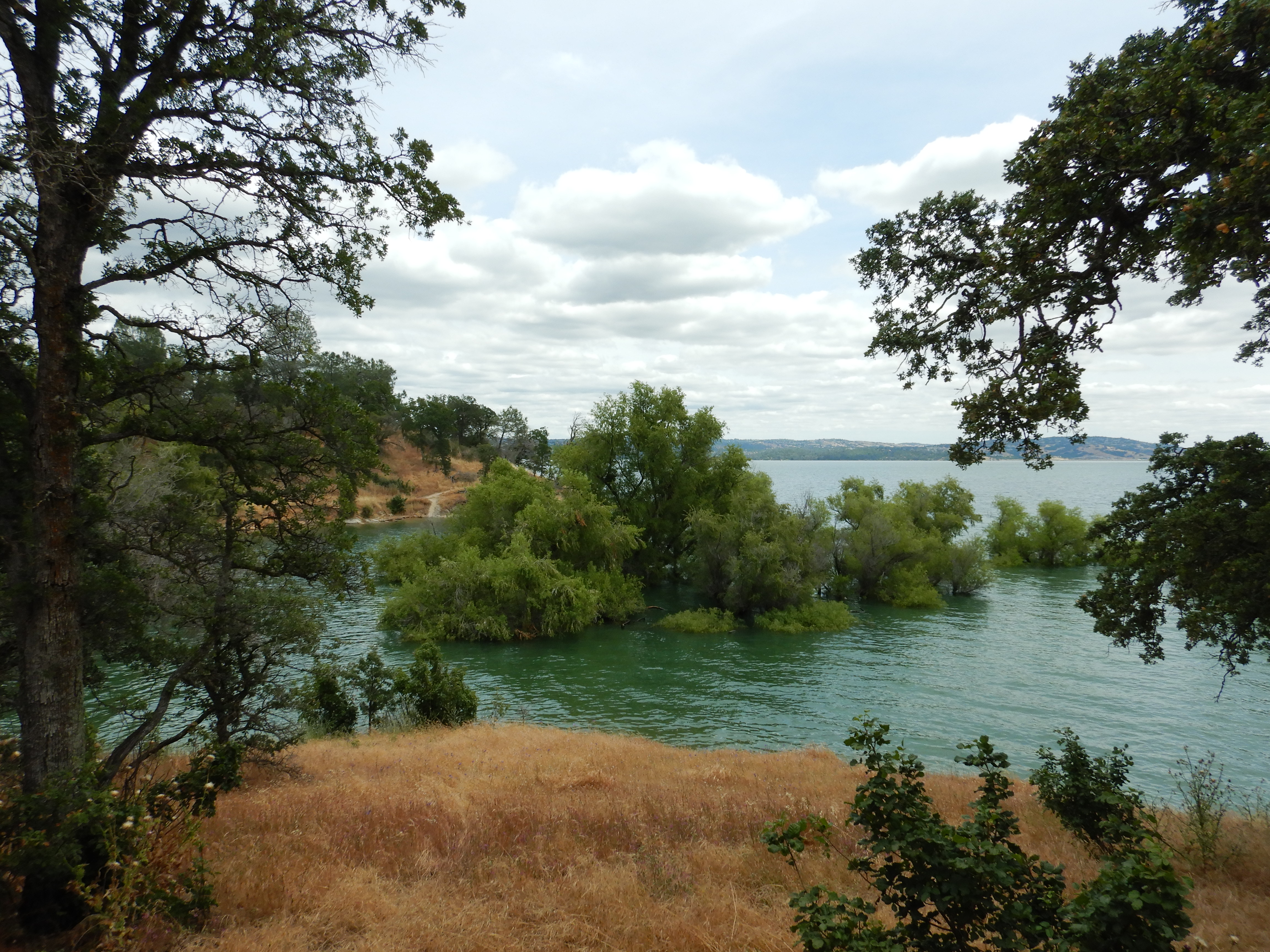
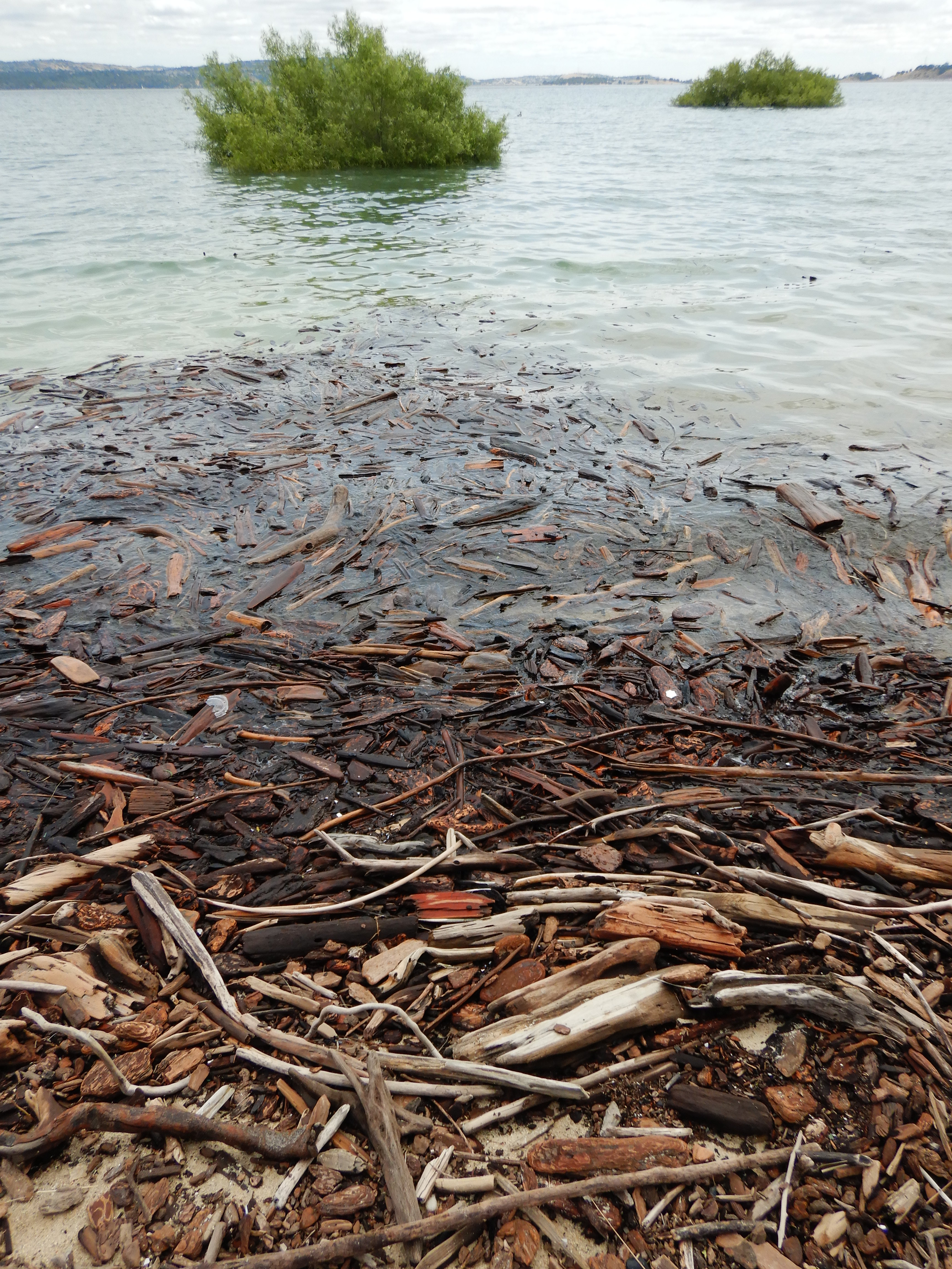
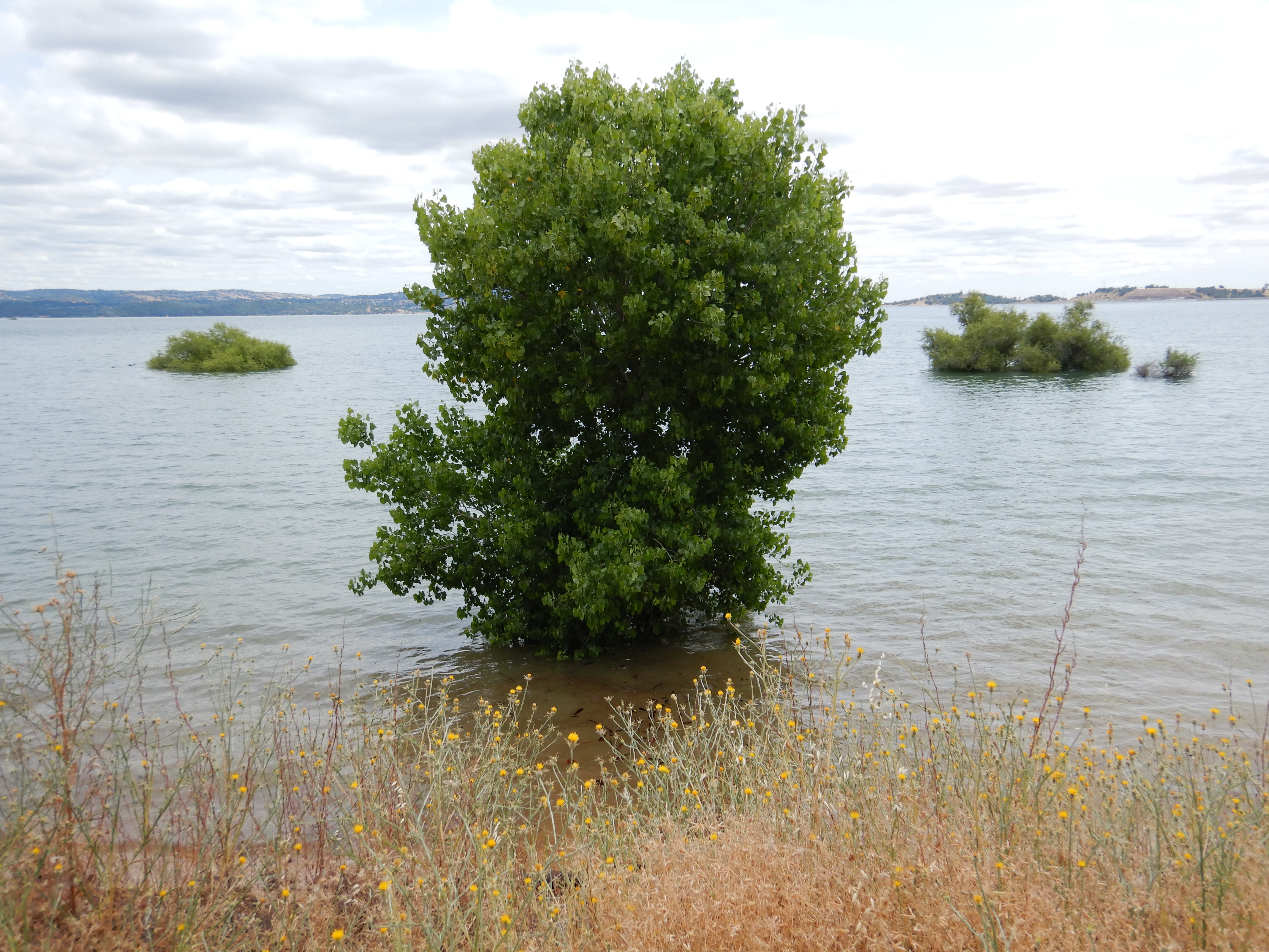
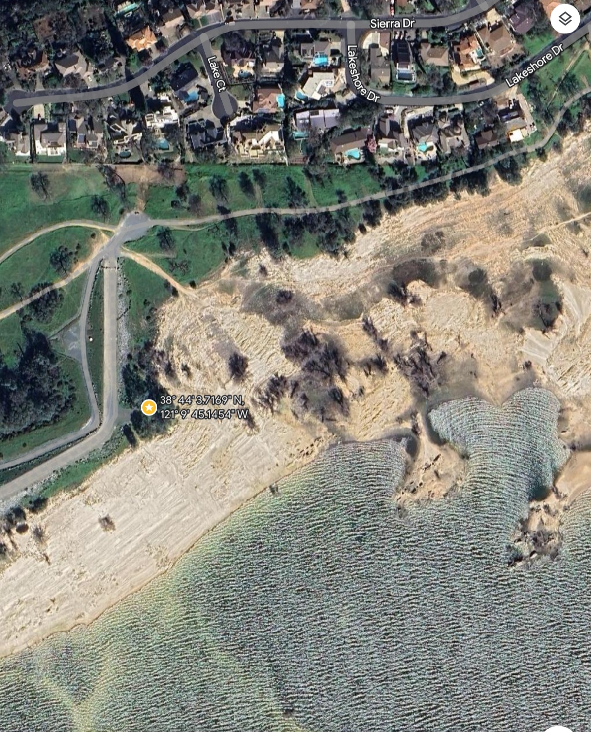
Folsom Lake is near max capacity now, with stream and snow runoff about equalling lake outflow. The difference between the usual drought years’ lake height and this high water world is striking.
I packed the usual requisites for a peep of my age and delicacy: half frozen drinking water in a kombucha glass bottle- verboten at the lake but I’m a rebel- and an empty plastic filter canteen in case I run out and need to drink from the lake.
Which is pure water mostly, and where Roseville gets its water, then treats it. You could drink right from all this snowmelt, but why take a chance? Technology.
I made my gorp in case I got famished, consisting of Sun Maid California raisins, pecans, cashews, California almonds and California pitted deglet noor dates (3, large). Yum.
Of course TP and paper towels for hygiene; a travel book, Down the Nile, by Rosemary Mahoney (highly recommended); and small Gerber pocket knife in case I’m attacked.
The rest of my necessities are: Nikon underwater shockproof travel camera, and old small Galaxy A8 cell phone for 911 emergencies and camera backup. It’s my tuneserver for Bluetooth speakers and headphones too. But I don’t play music outdoors, to maintain situational awareness for reasons of personal security.
I’m wearing excellent lightweight, water resistant hightop hikers but my poor feet, the right one especially, are arthritic, neuropathic and hammer toed, so my goal in hiking is always to be able to get back unassisted to the car without using the Galaxy A8. This goal determines my route, speed and (hopeful) destination.
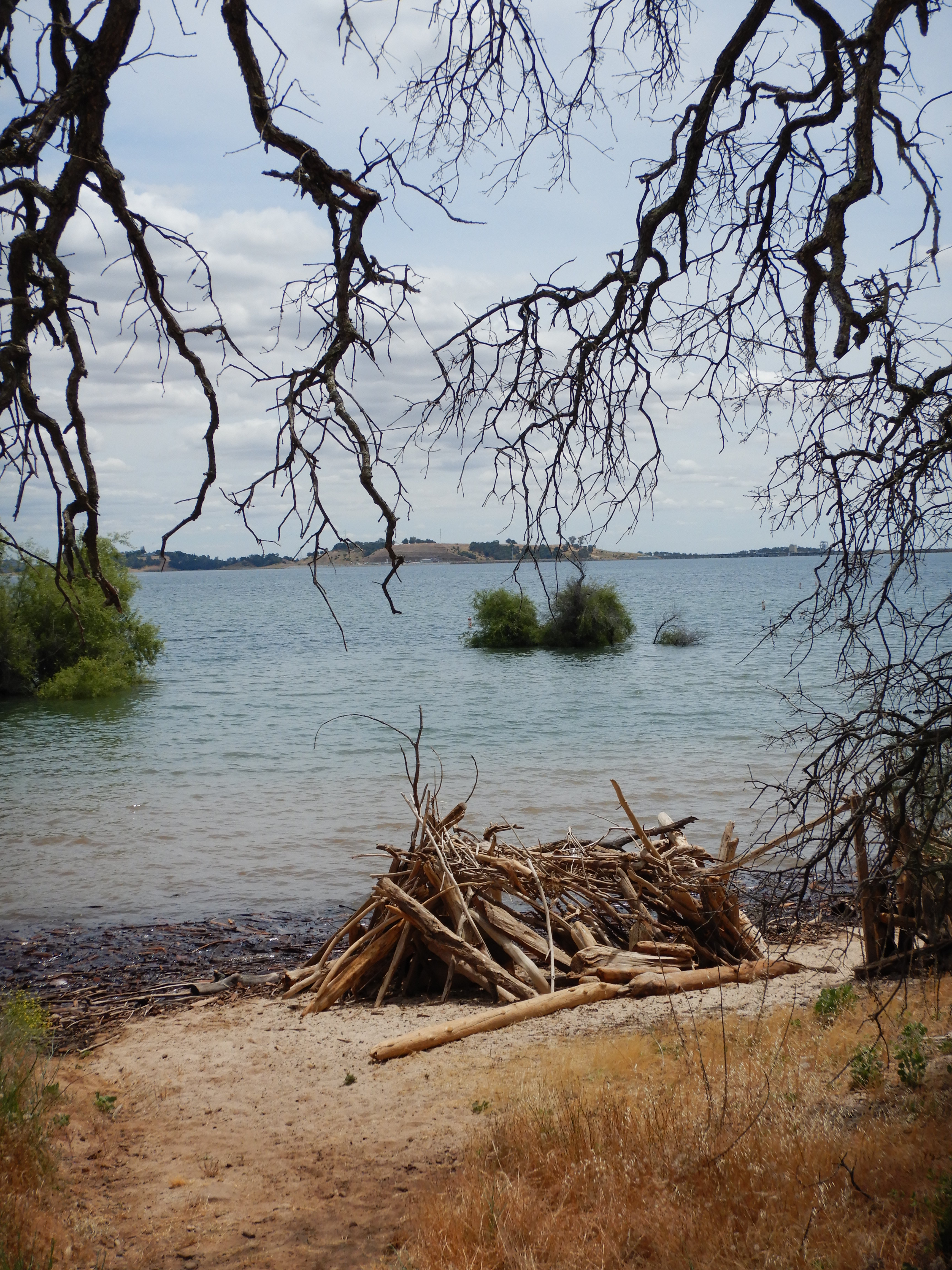
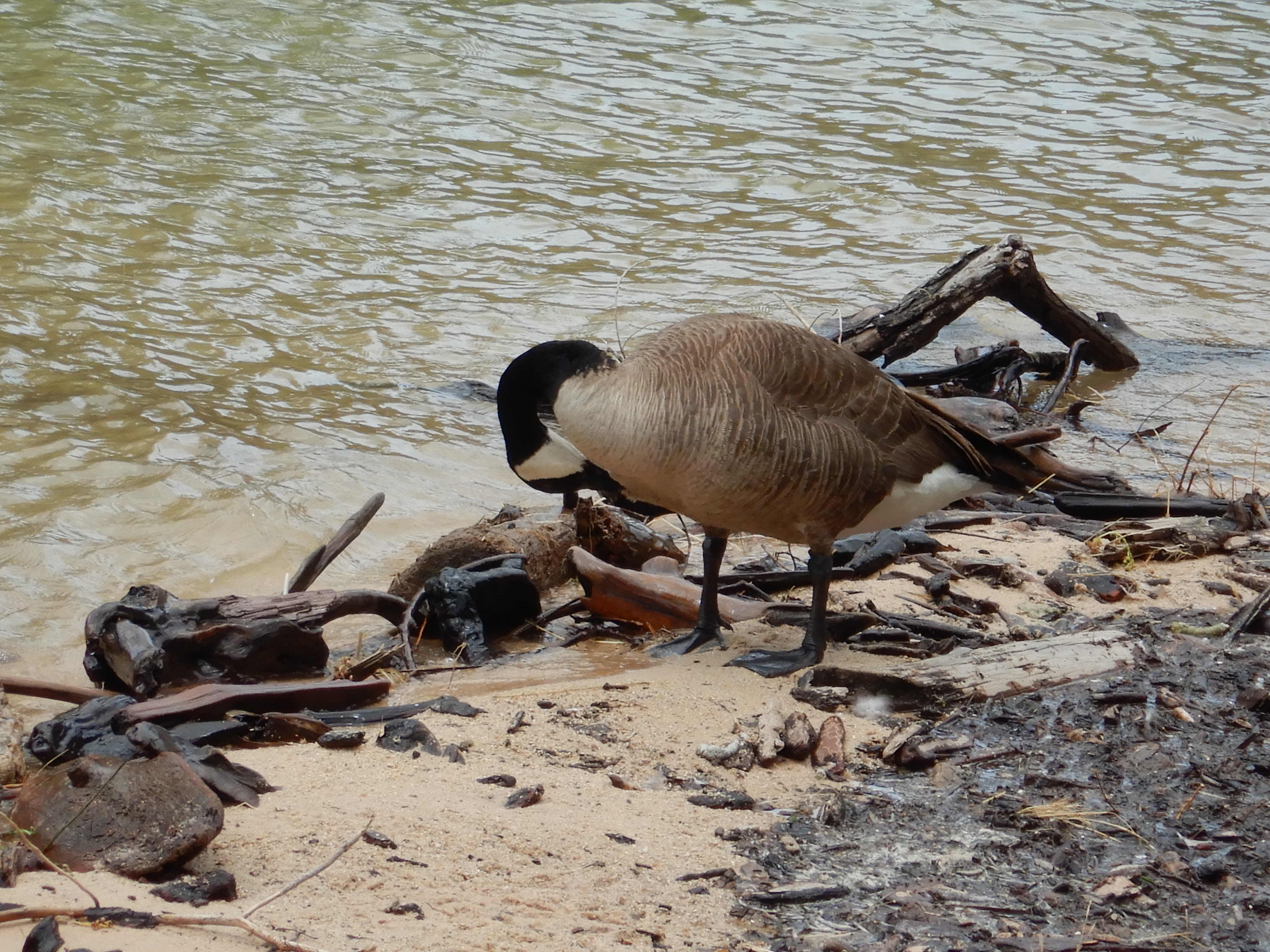
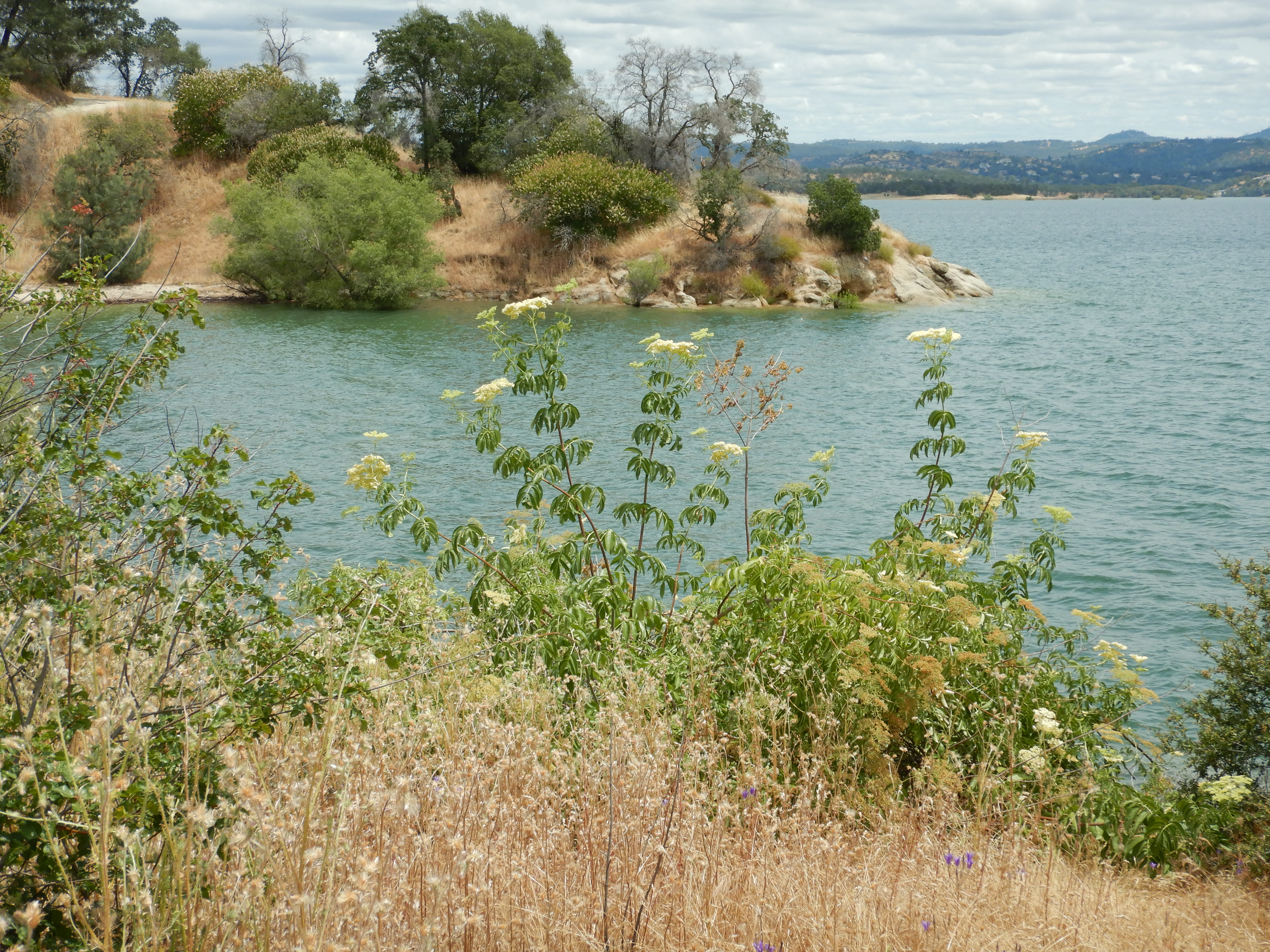
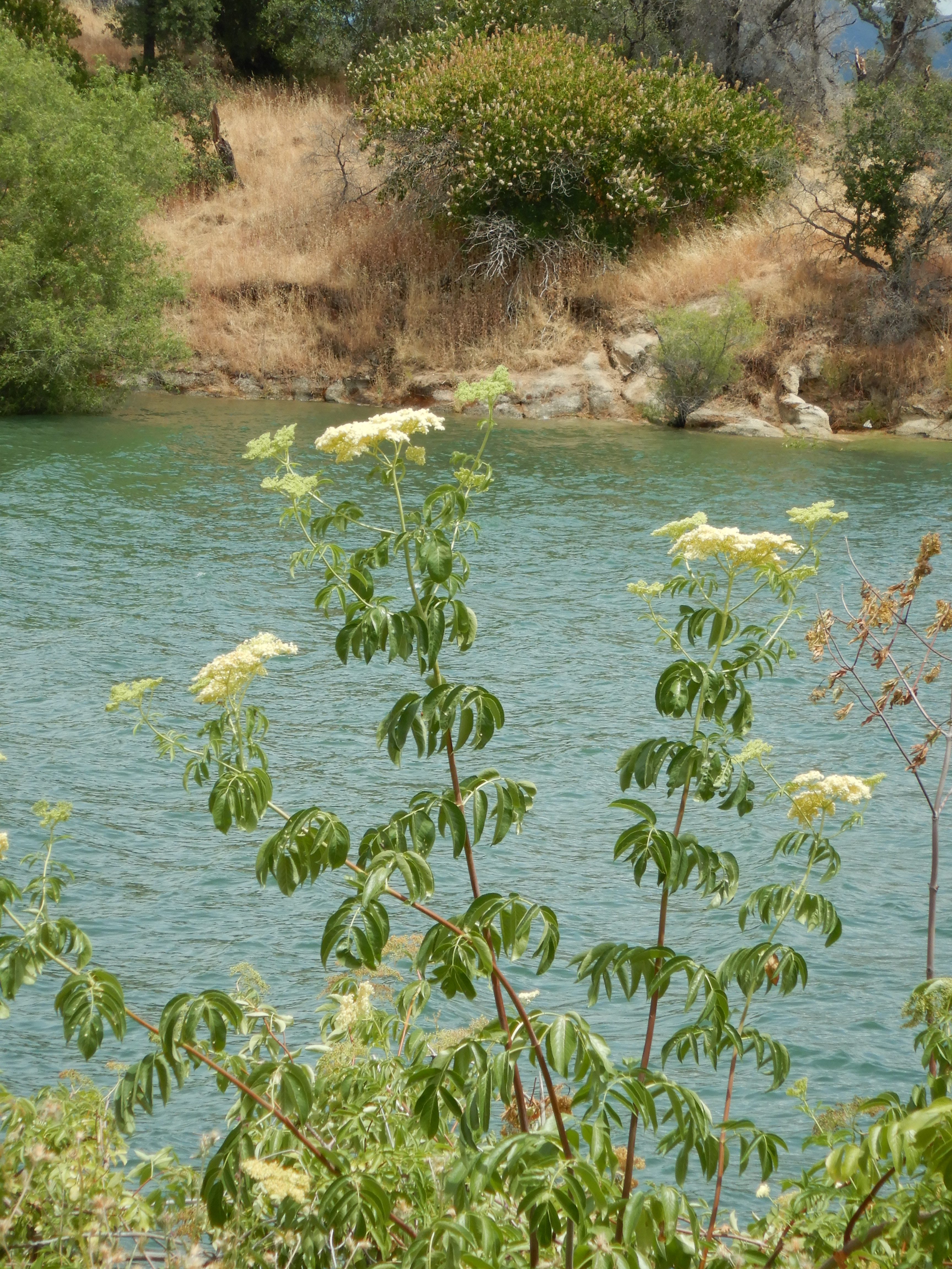
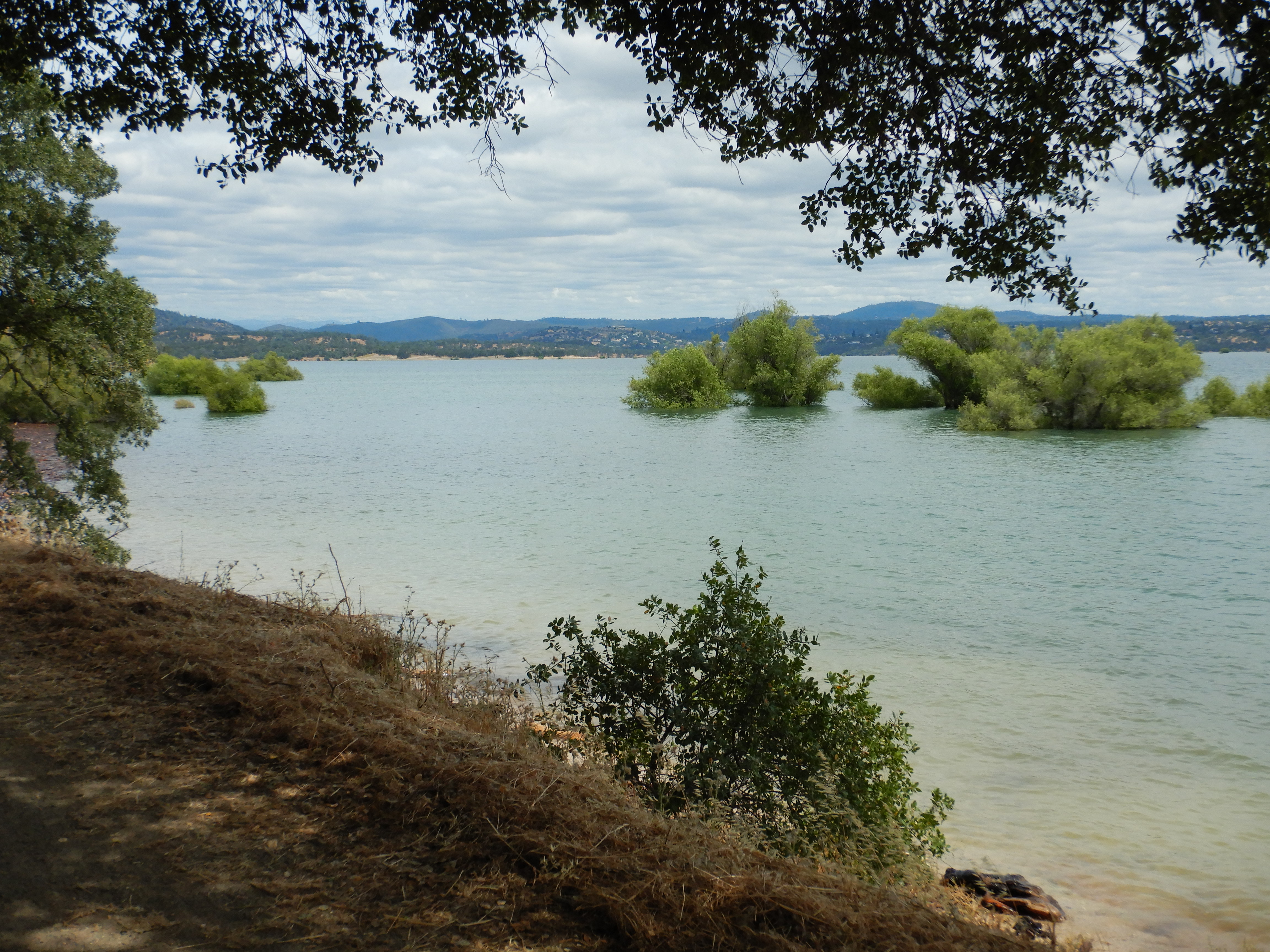
The theme of this lake hike was driftwood teepees.
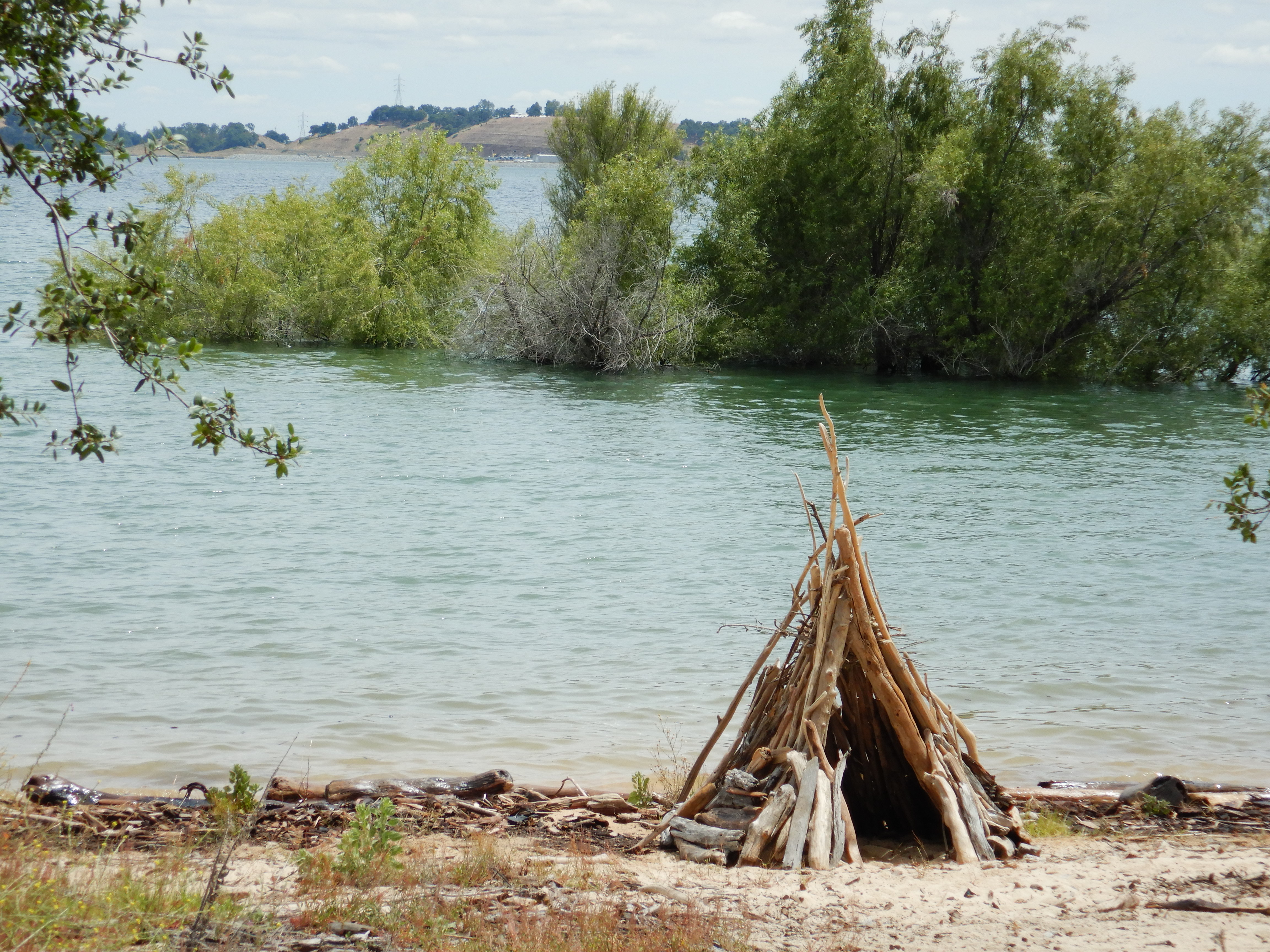
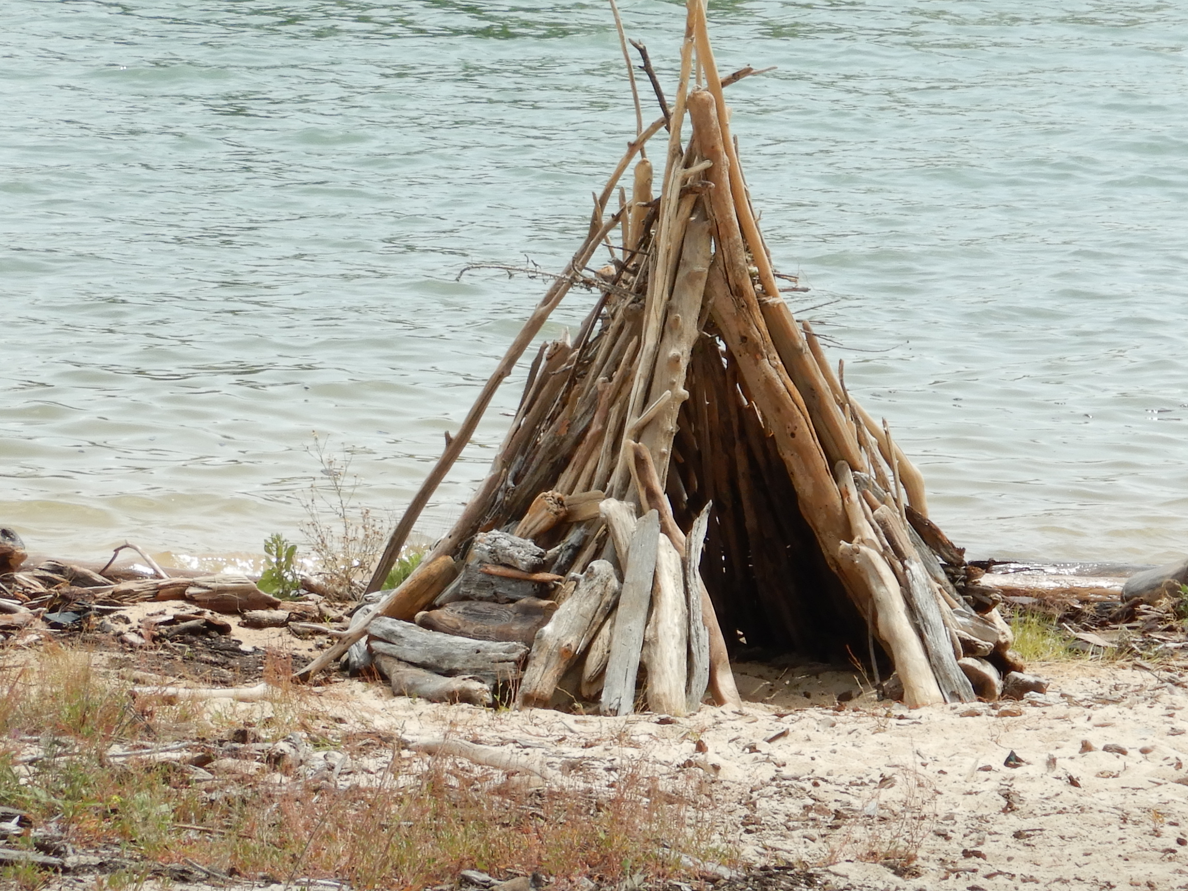
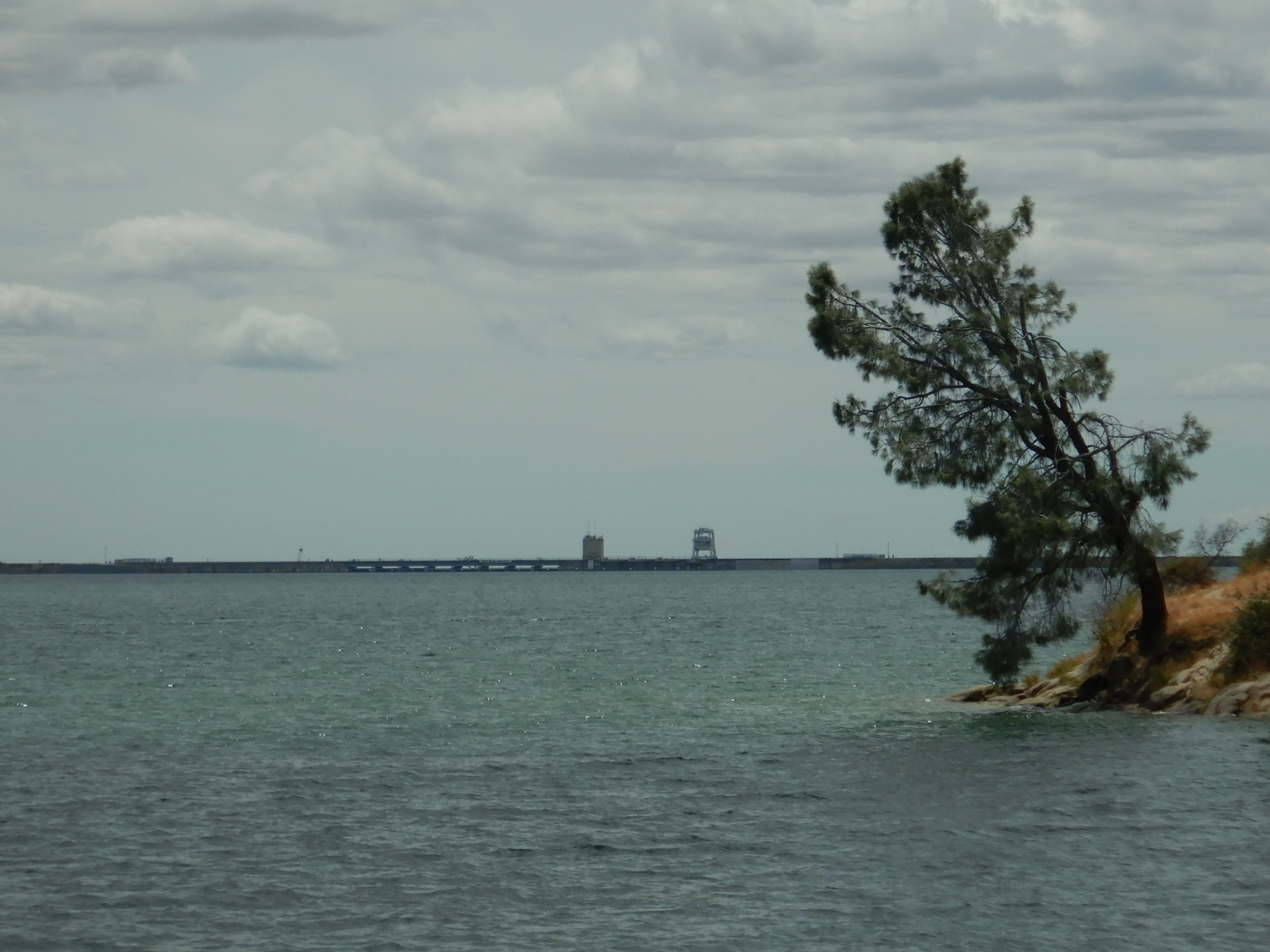
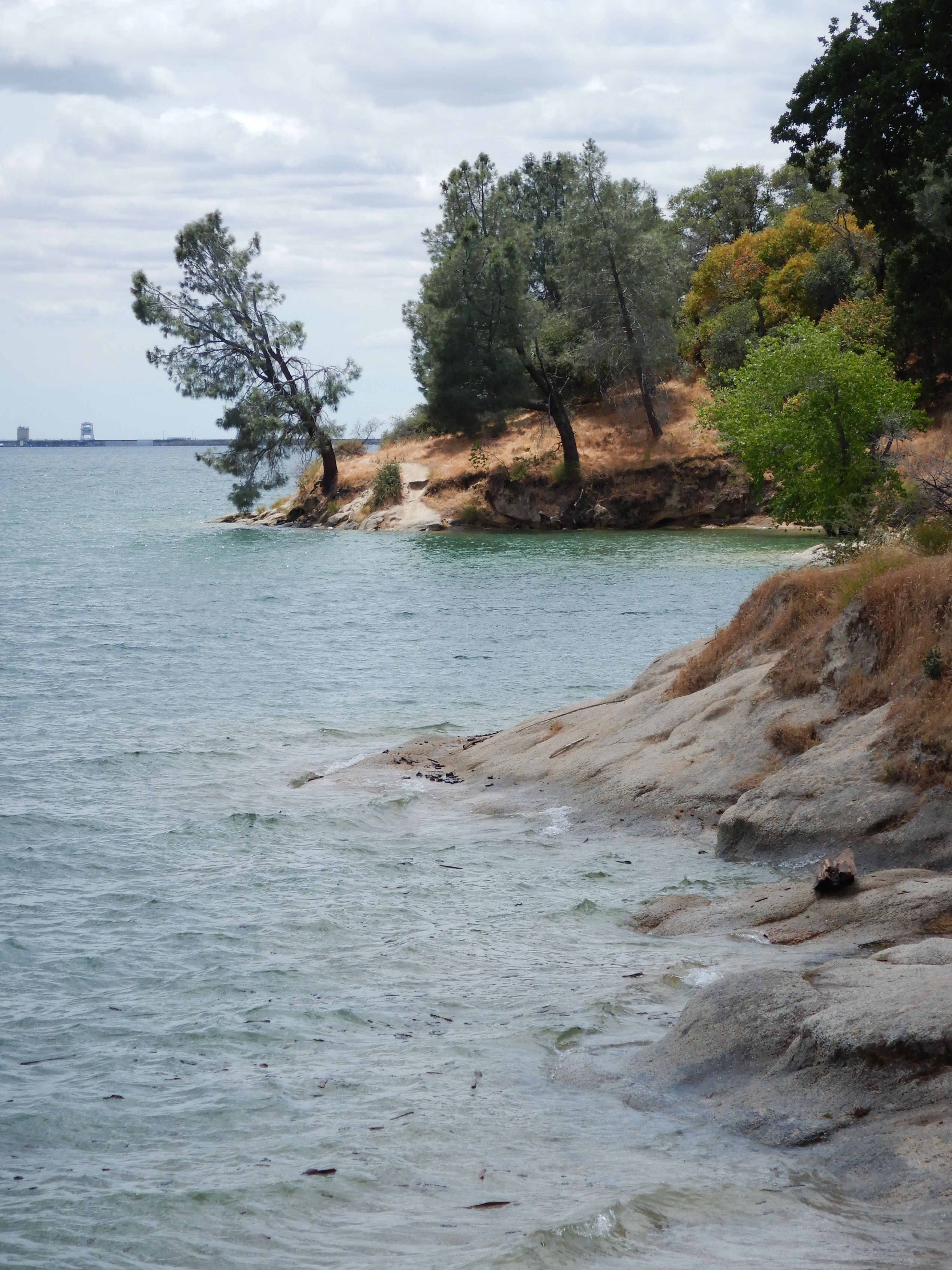
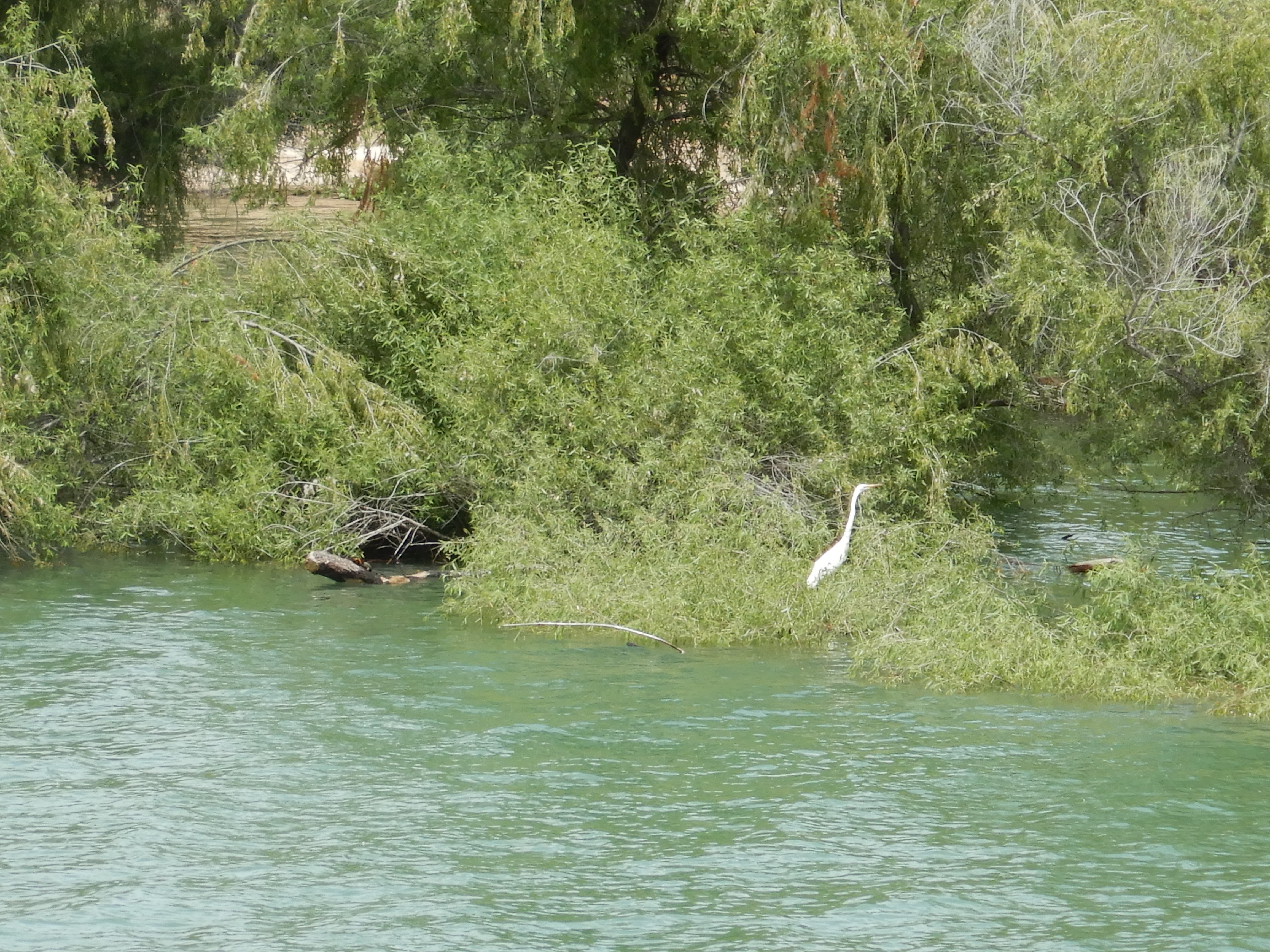
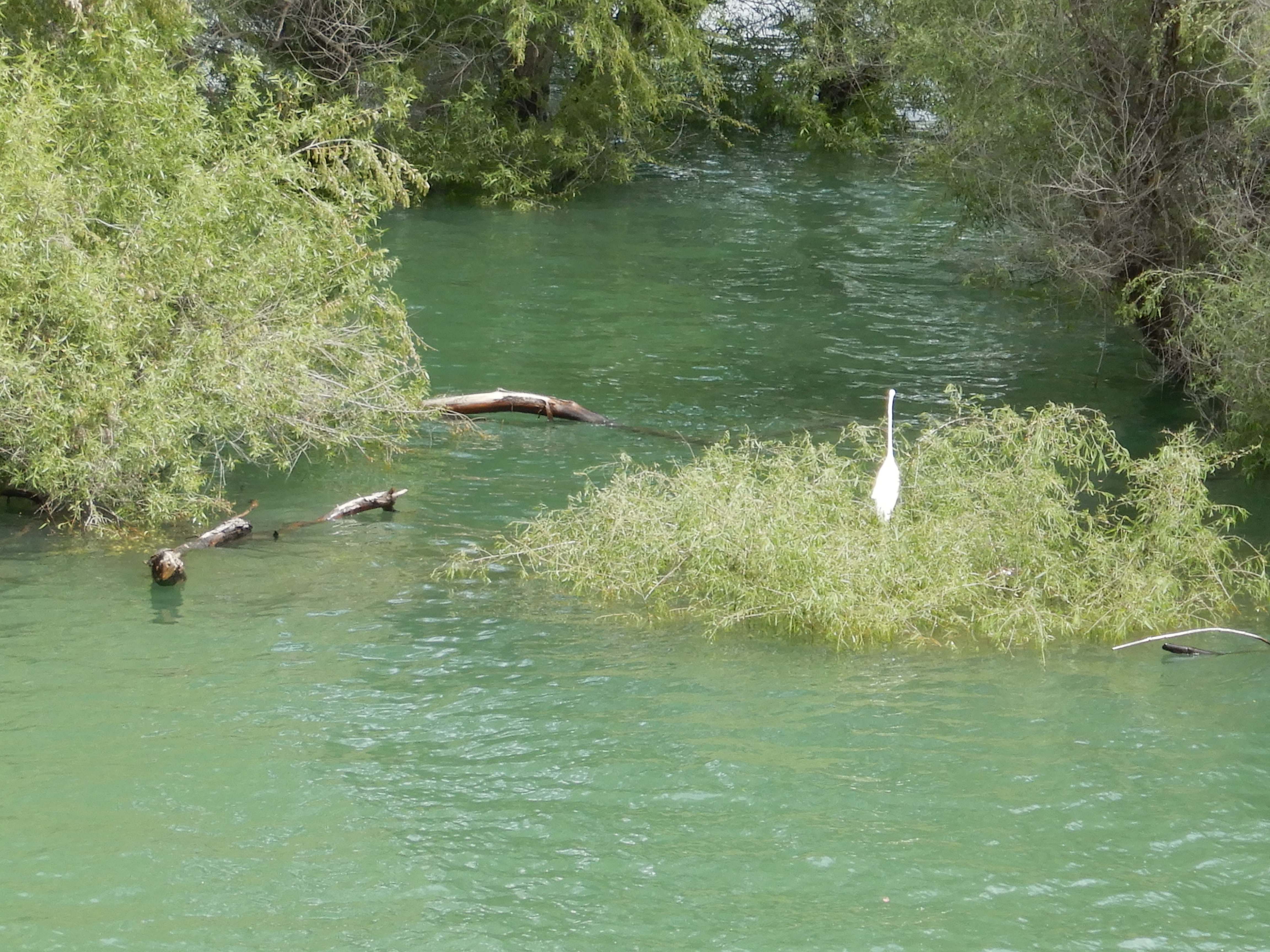
Originally built far from the distant water for welcome shade, the teepees now have boat wake waves lapping at them from the near record high water levels.
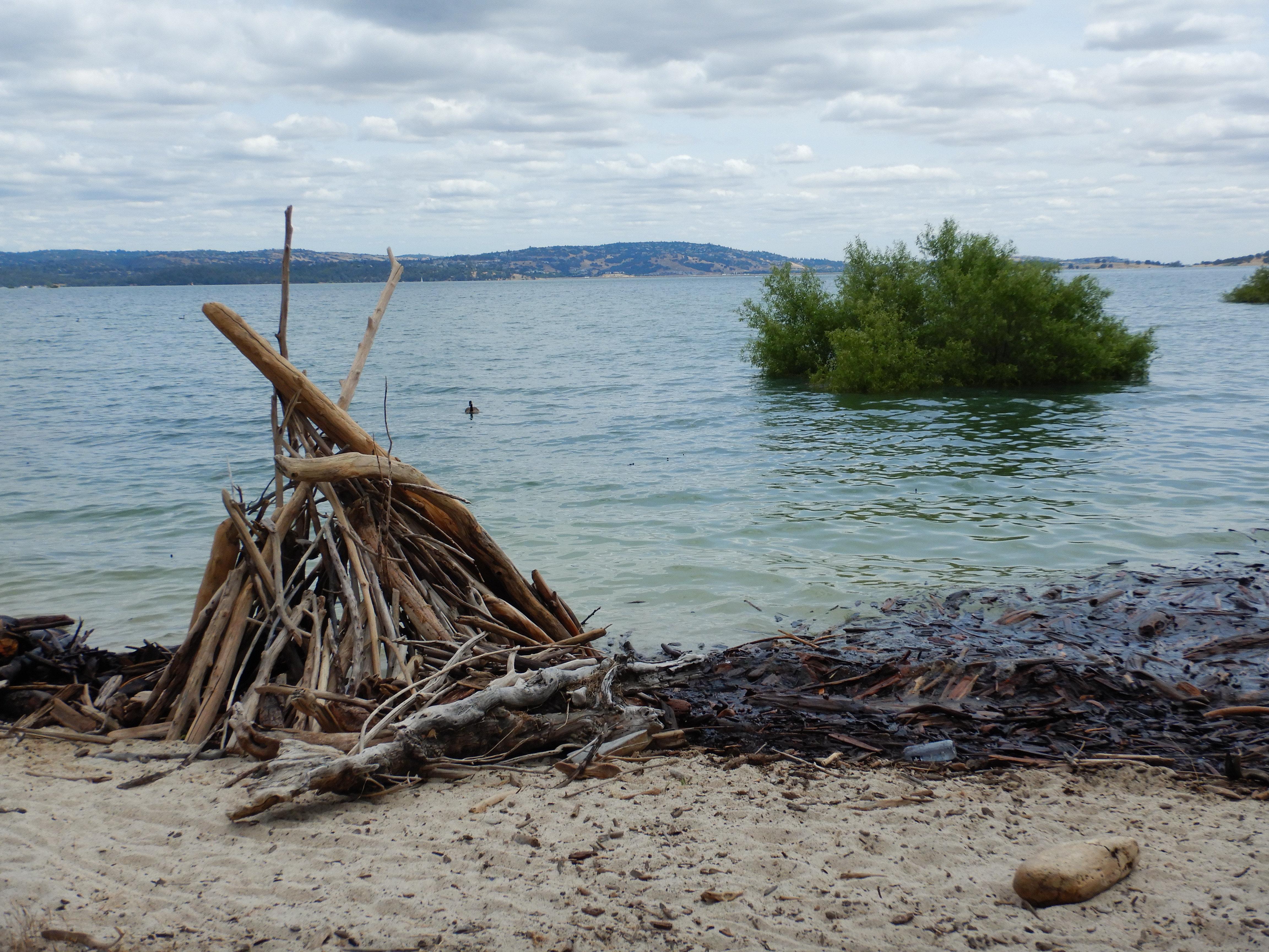
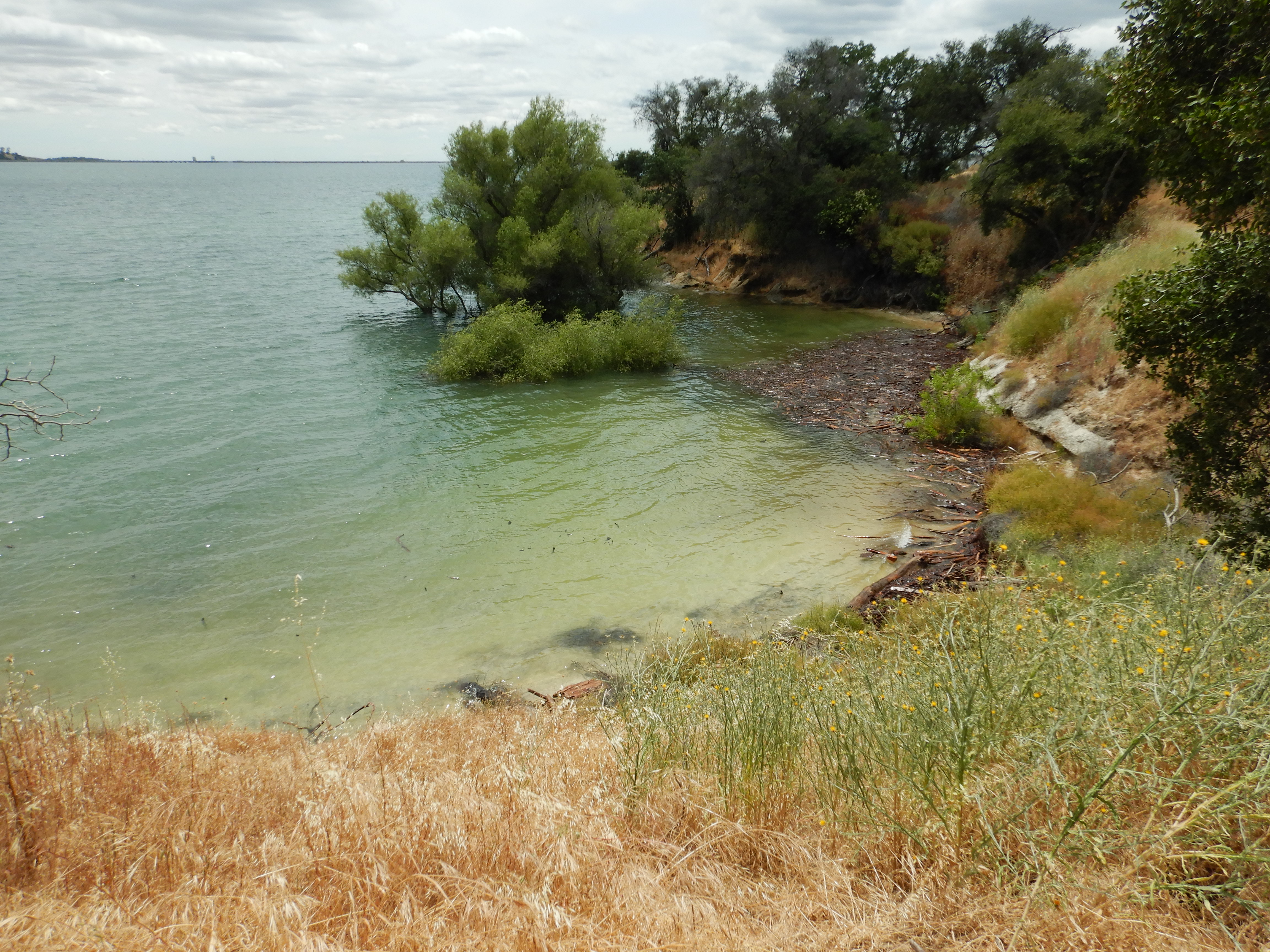
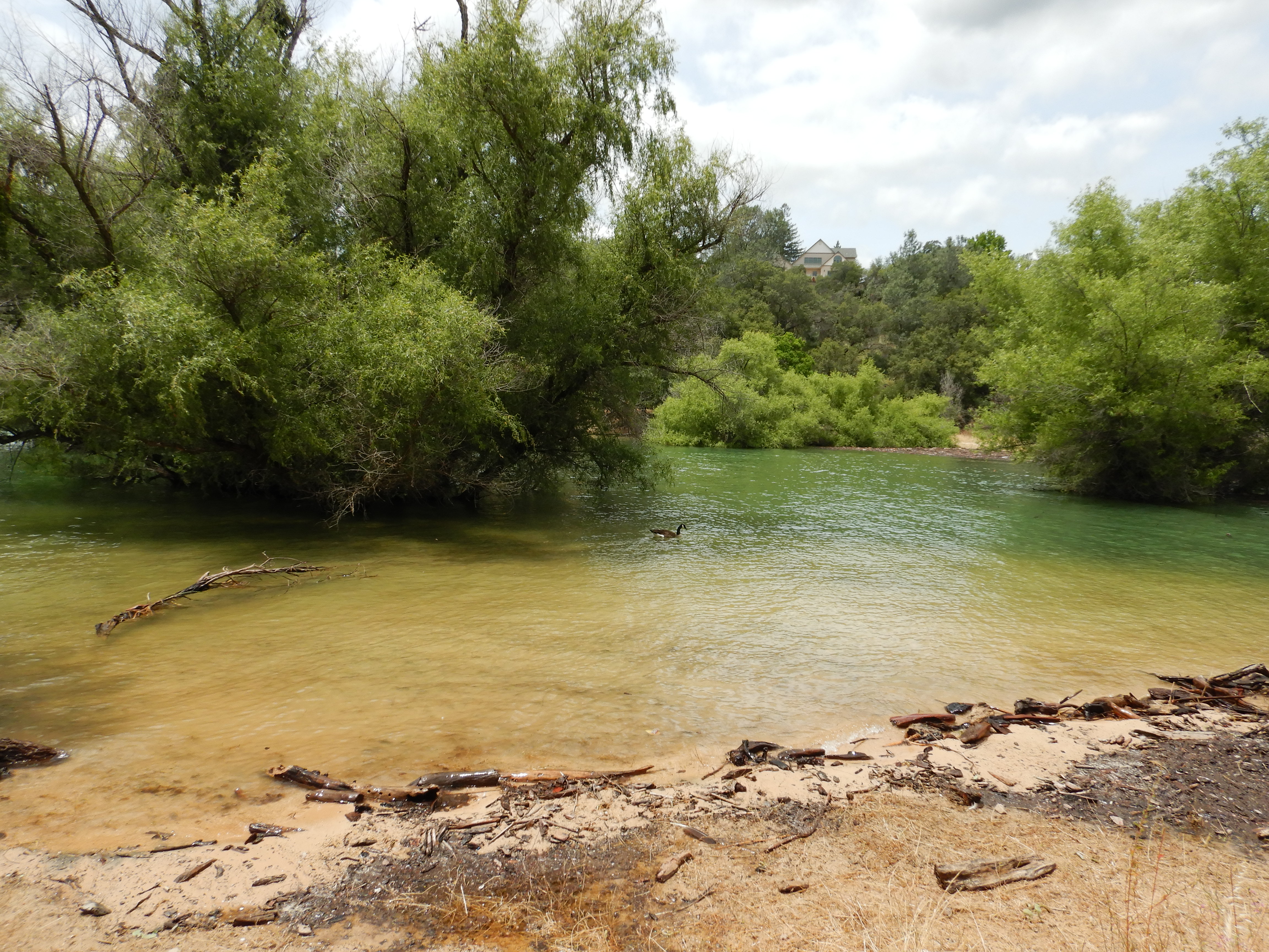
The trees underwater everywhere show how long drought conditions obtained here, some are hundreds of yards (meters) offshore now, yet somehow are still surviving so far.
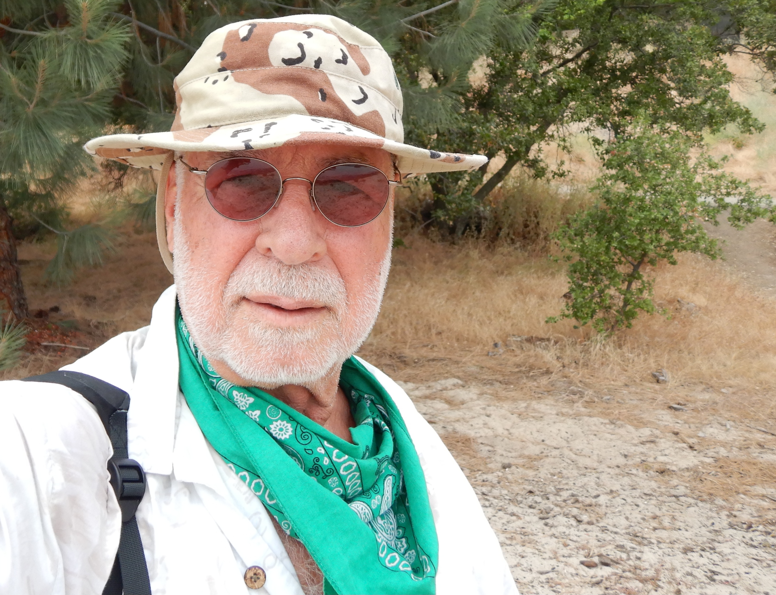
About a mile (1.6km) on I stopped for a rest, ice water and gorp, and this selfie.
I’ve paddled my inflatable kayak around flooded trees like this here before, and I know what this snowy or cattle egret is hunting. The many fish that school around the tree clumps, feeding on the bounty of flooded land. Though I’m sure she’d skewer and devour any stray frog, lizard or snake in the foliage as well.
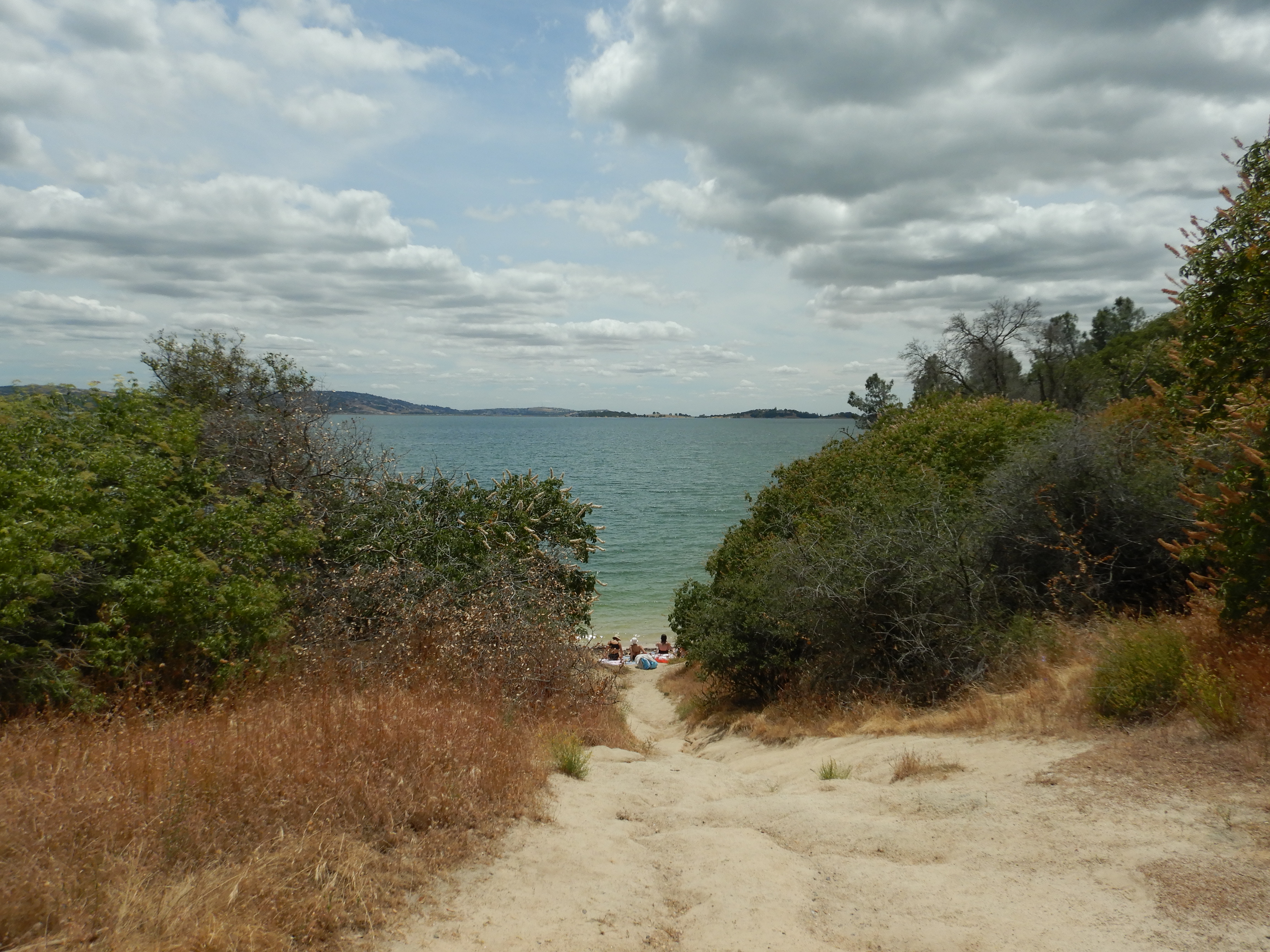
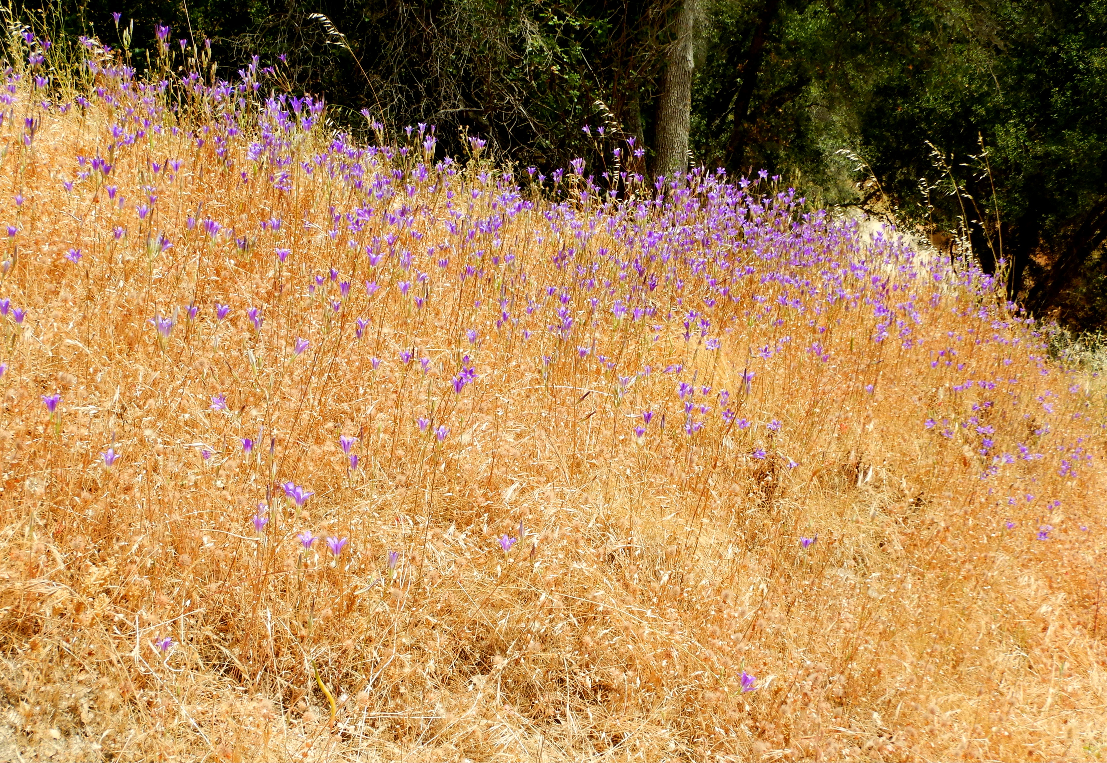
Nearing the end because of elderly fatigue and faulty feet, this wide open and sunblasted area has many hideously large, many million semoleon McMansions, some crowding down almost to the trail. The horsey set.
The hike back was faster because I stopped for no gorp nor pics. I did stop several times on steeper hill upgrades to catch my breath, and mop my face and buzzcut with my boonie hat- a Desert Storm era cap and not my own Vietnam War period hat, but a good one.
Unless noted, all text and images by todgermanica.com.

Nice narrative about your hike. For future reference, I think you can google What is this plant? and it will tell you. Probably apps for that as well. Were there homeless camps by the lake? I harvested a yellow squash day before yesterday, my first pick of the season. I will wait until I get another squash before I saute it with onions, garlic and Trader Joe’s all Italian virgin olive oil.
>
I’ve heard of those plant ID apps, I need one for birbs too. Saw a tiny titmouse at home, pretty rare here. Like to know the variety.
If I sit still in my backyard gravity chair, the robins and mourning doves and LGBs (little gray birds) drop down in pairs to feed. Poking, pecking, and clawing up bugs and seeds like tiny chickens 10 feet from me. They must be like T Rex, I’m invisible unless I move.
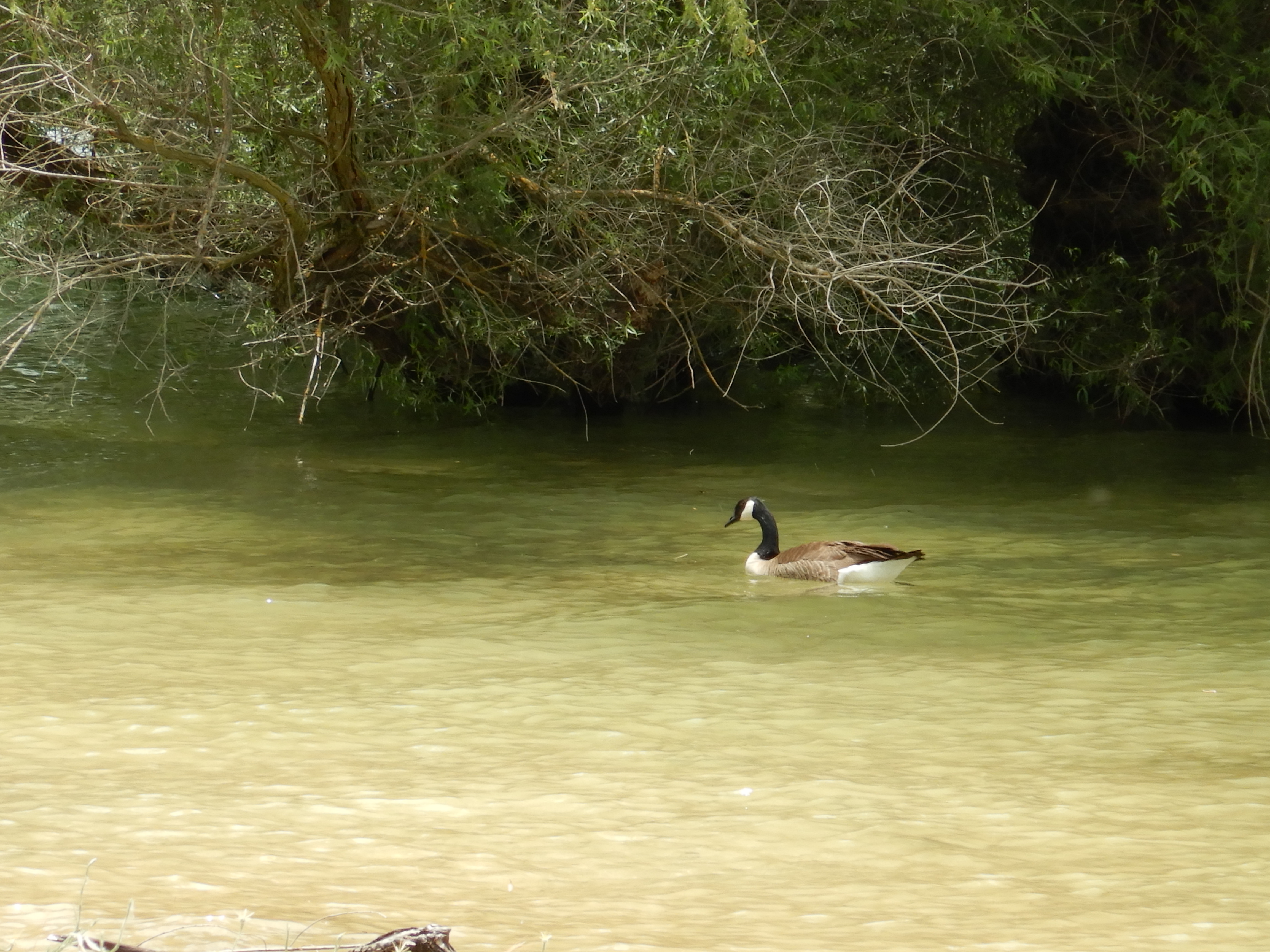
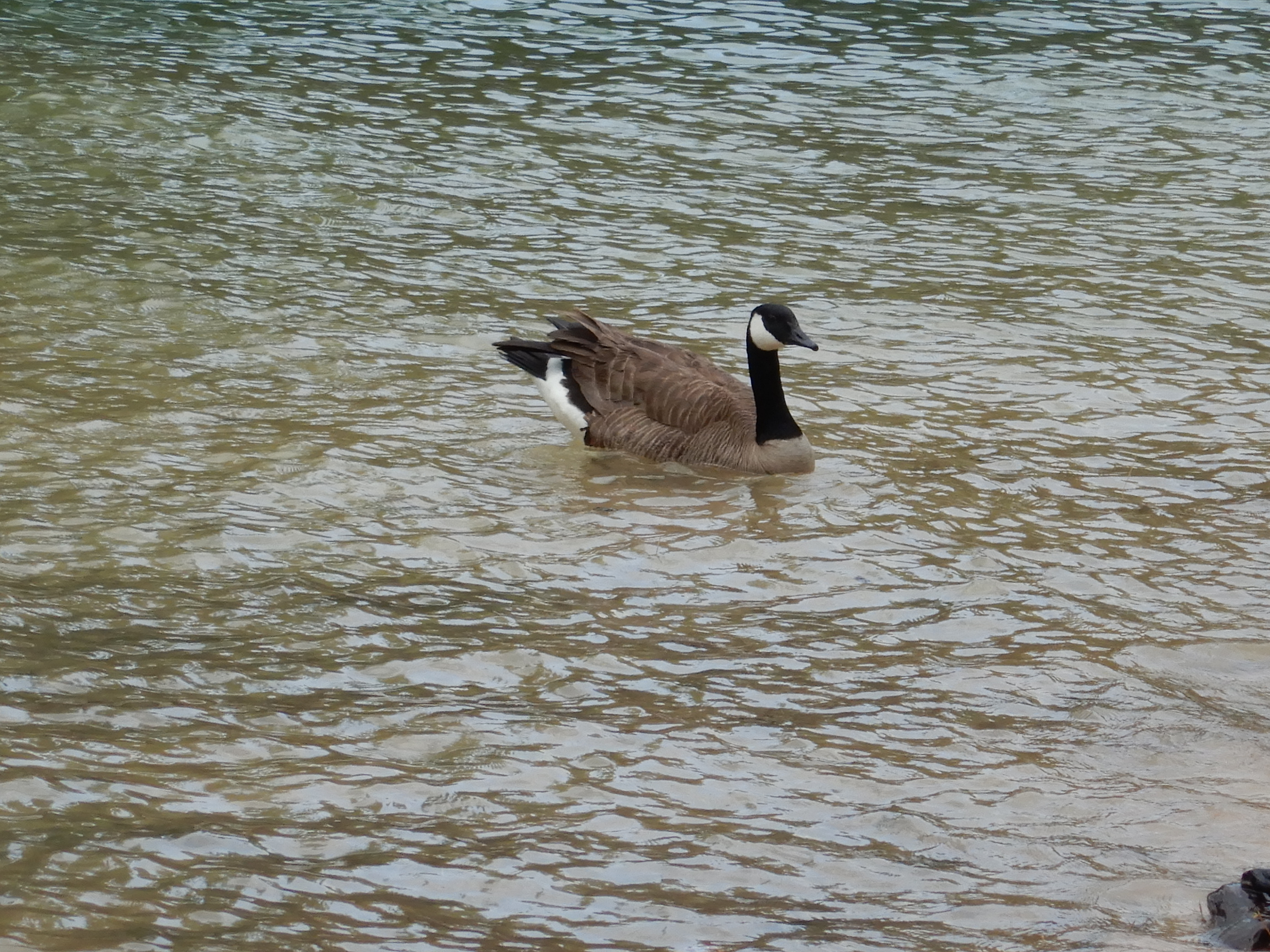
The dove’s soft iridescent feathers are brilliant. They staccato squawk on launch but don’t honk constantly enroute like Canada geese and ducks do. I love their owl-like cooing at twilight. So melancholy.
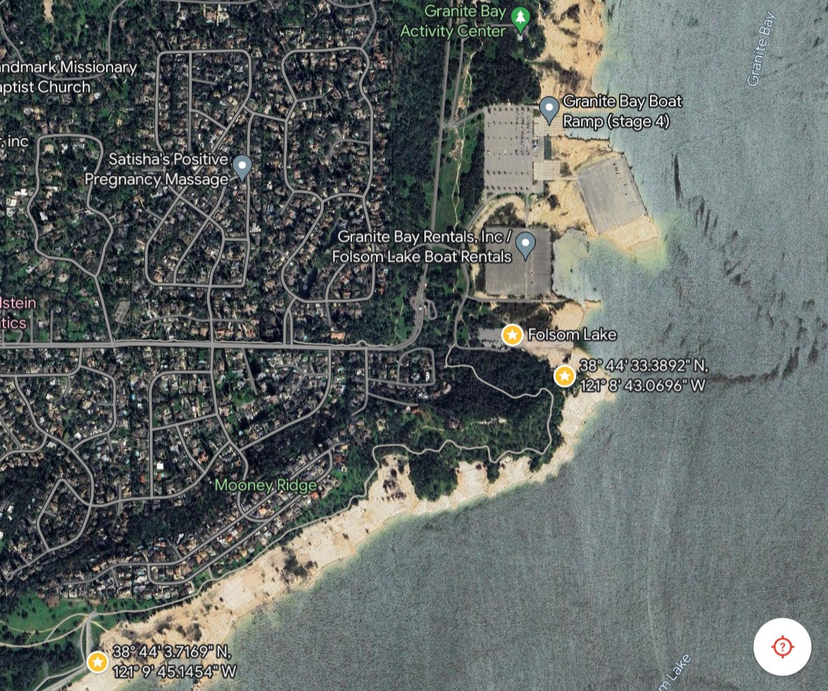
I saw no homeless volk at the State Park, I’d expect the rangers would detect them since it’s day use only. Not to say they are not around wilder parts of the park, it is big. But not so close to Granite Beach, and the Ritchie Rich houses towards the dam.
Sounds like a tasty recipe for organic homegrown squash. I like it when someone else cooks it but I’ve generally failed trying it. Thanks for the comment.
Pingback: Sold My Old Town Wahoo Canoe: Now Selling My Kayak Too | todgermanica.com