I try not to blindly follow Google Maps but vetoing her constant shortcuts through rural America can be a chore. And sometimes I want to save that 15 minutes on my 9 hour drive. If my phone then dies so do I. Or else I survive.
This time I lost situational awareness just over the Nevada state line and failed to reject Ms Google Maps lady’s rerouting me through Nevada highway 95 instead of my planned repeat drive South on California 395.
I tried to take this latest navigational error in a Zen fashion, no turning back but soldiering onward to glory or the ignominy of desert wasteland physical, mental and vehicular breakdown. I’m not the most confident or fit traveler.
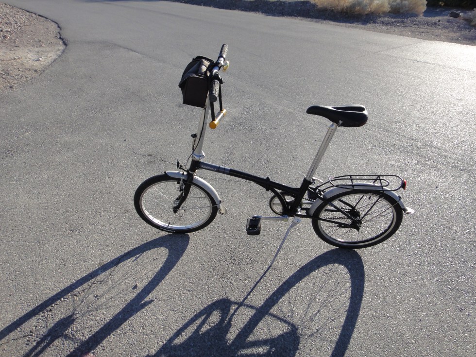
Alt Emergency Transport: Dahon Single-speed Folder
The usual anxiety and nerves at every mile listening for the car’s ‘automatic rough’ as we plunge into Nevada’s Outback, a nicely paved and graded two-lane but no civilization to speak of.
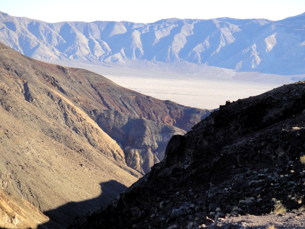
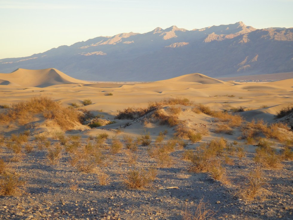
Top-What You See Now: Below, Sediments Originally Laid Horizontally in the Far Past. Floating Blocks of Earth’s Crust Tilt and Slide Past Each Other Forming Endless Basins and Ranges.
Just Basin and Range farther than the eye can see or the mind understand. If I break down here it will bankrupt Farmer’s Insurance to pay for towing…to Pahrump? Gruesome thought.
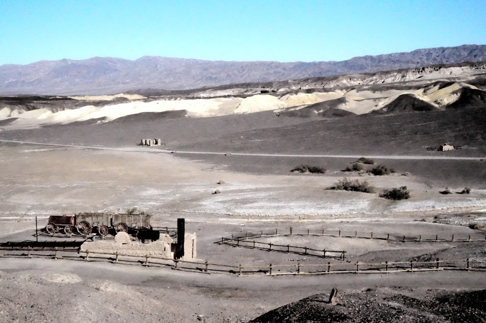
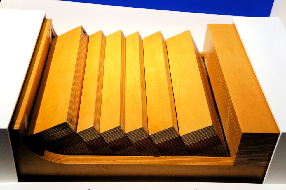
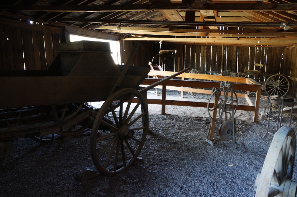
Harmony Borax Works
I had planned to repeat my last Death Valley adventure, as the brochures say, driving 500 miles from Roseville to Death Valley via highway 395, almost all in California, very pretty, very steep and cold this time of year at 5,000 – 7,000 feet most of the way.

Thought I’d get a fleabag motel in Lone Pine like before. But no. I ended up driving on the much drier, flatter and more deserted Nevada desert the whole way.
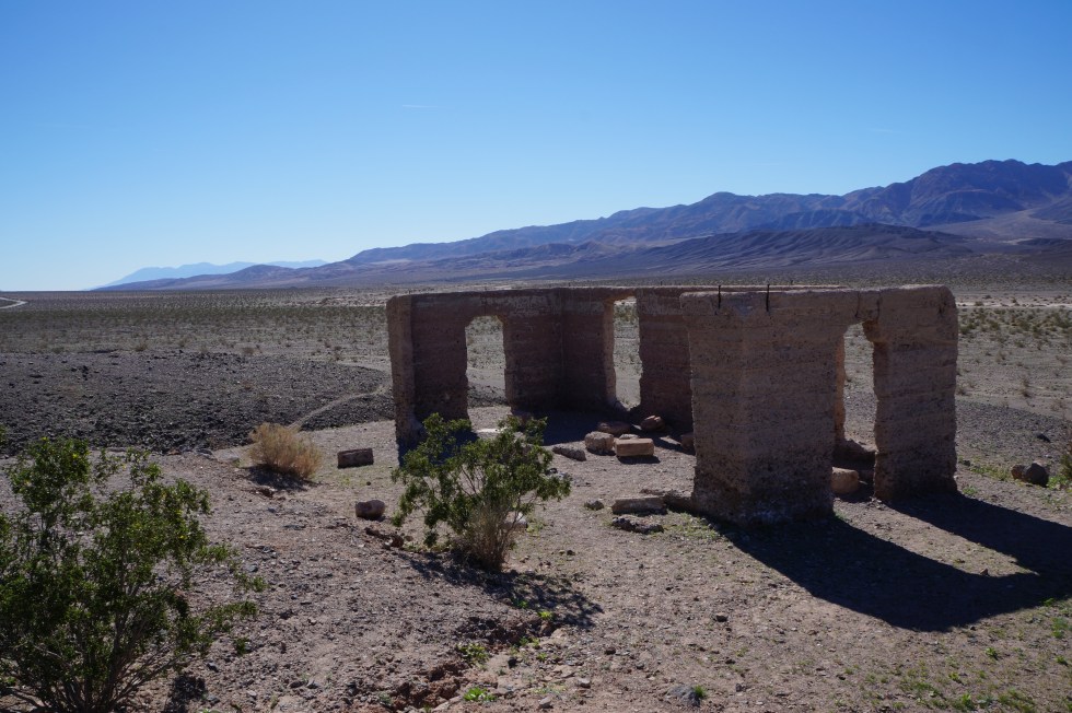
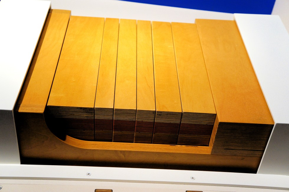
Ashford Mills
I didn’t break down, had no delays (thank you little Ms Google Maps voice?), got to drive 80 or 90 if I felt like it, and saw a whole new part of Nevada I’d never seen before and likely will never see again.
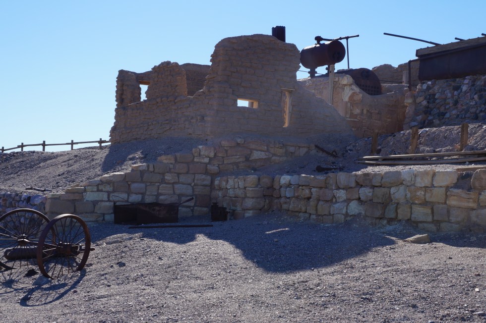
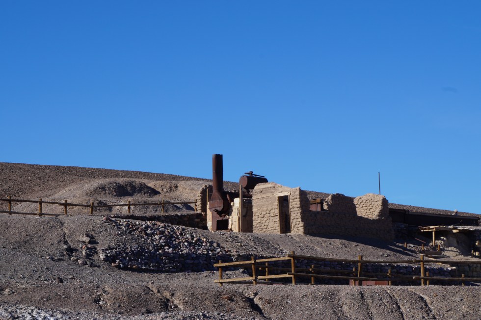
Harmony Borax Works
I tend to be timid, safe and repetitive, so GPS/Maps mistakes helps me break out of a lifetime of the rigid, bureaucratic, either/or thinking I am prone to. Adventure through user error.


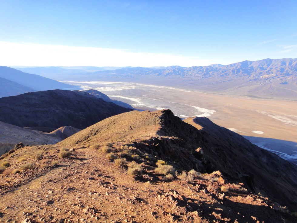
Dante’s View
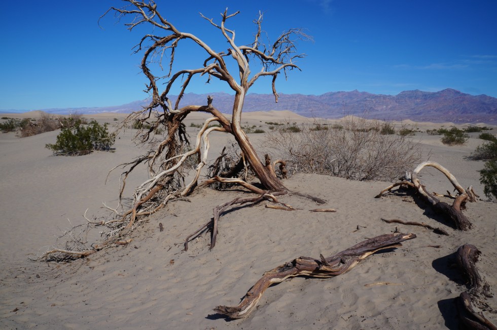
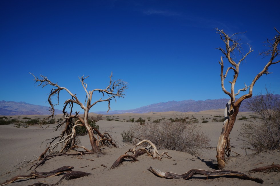
I crossed numberless dry flat alkali basins followed by ascending and then descending bare, blasted little mountain ranges for hundreds of miles (kilometers).
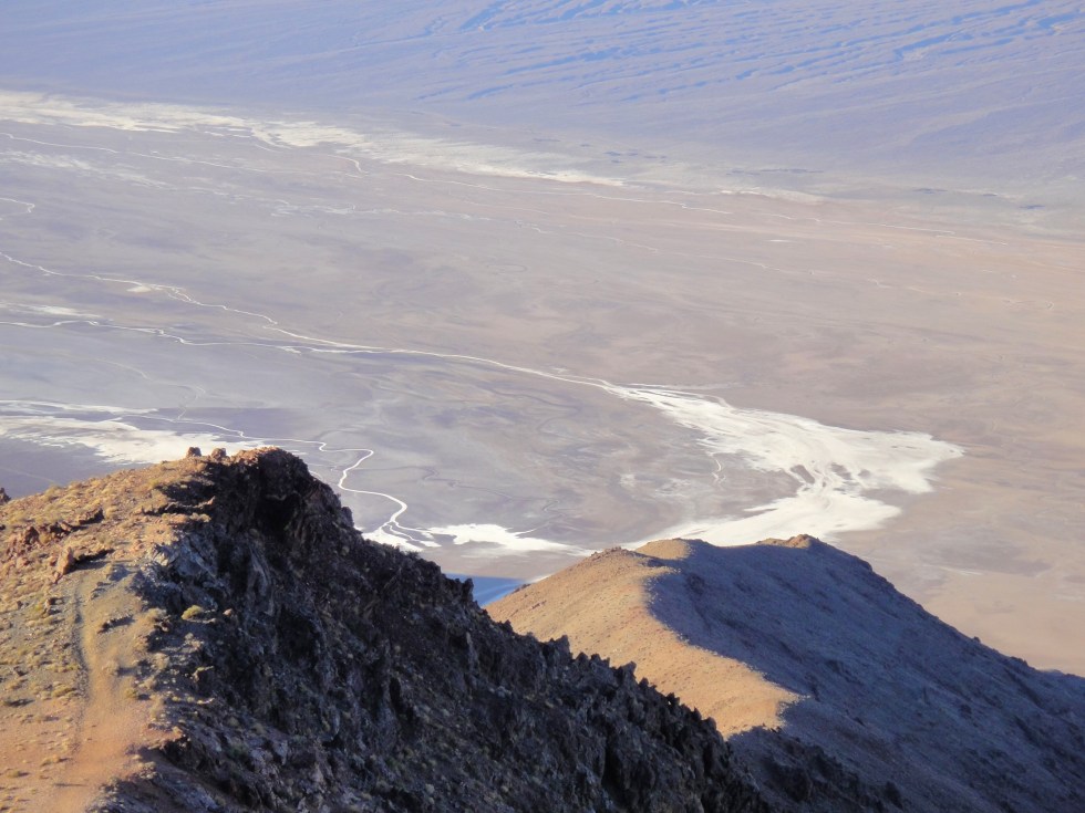
Dante’s View
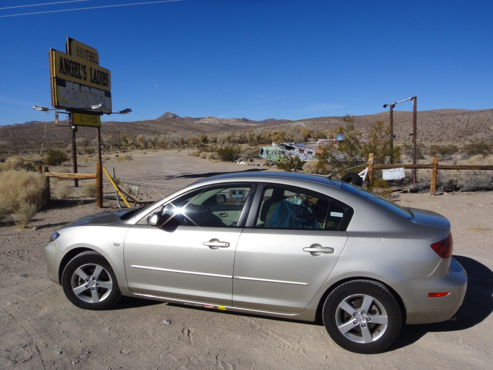
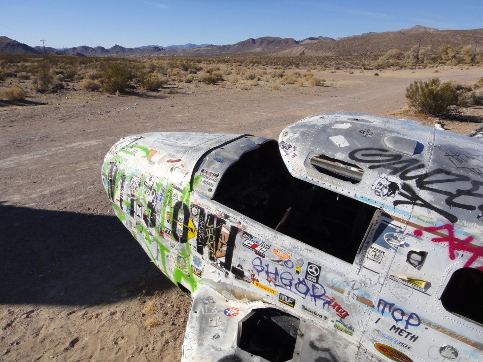
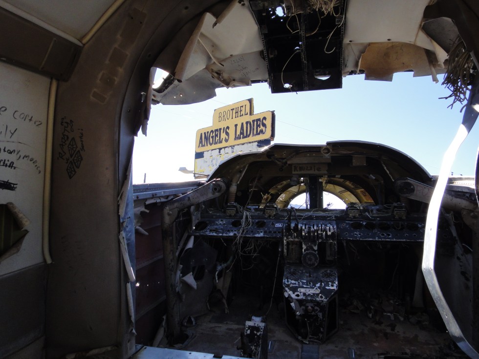
What towns there are look mostly transient, thrown together to serve ranchers, geologists, the military and us travelers. Maybe a gas station or two. Maybe a greasy spoon diner, mini-casino/curio shop.
The heat and UV radiation break everything down quickly. So even recent ruins look like the Old West. And naturally in Nevada we’re offered vice in the form of gambling, whores and cannabis.
But not especially on highway 95 between Tonepah and Beatty. No sin, just endless excellent examples of Basin and Range geology.
Next time, Badwater Basin, Texas Springs Campground and Golden Canyon/Red Cathedral.
Unless noted, all text and images produced and copyrighted by todgermanica.com. Non-commercial use free with attribution.
